Category Archives: Park Projects

See Through the Eyes of the Seneca at the Ganondagan Grassland Management Area

The Ganondagan State Historic Site located in Victor, NY boasts a historically accurate 17th century longhouse and will be opening a new Seneca Art and Culture Center this fall. However, there is a hidden gem at this historic site that not many realize exists! It is the Grassland Management Area at the corner of Boughton Hill Road and School Road which covers around 80 acres (over 60 football fields!) and is one of the most intriguing interpretive areas at the site!


In 2009 OPRHP restored 67.4 acres of the Grassland Management Area to represent oak opening communities in both plant composition and spatial arrangement. The Grassland Management Area has since spread to fill around 80 acres with the native plants seeded back in 2009.

The idea behind creating an oak opening came from Ganondagan’s past. Journal entries from French and English visitors to the site in the mid to late 1600’s described the landscape they saw when visiting the flourishing Seneca town of Ganondagan. Their descriptions of oak openings were used to create a scene that can transport the viewer back in time to when the Seneca were living at Ganondagan 400 years ago!

Oak openings are fire-dependent savannahs (grasslands) dominated by oak trees and are rare ecological areas, especially in upstate New York. The oak opening created at Ganondagan consists of warm-season grasses (grasses that thrive in the heat of the summer), wildflowers and large oak trees along the surrounding wood edge. Spring fire management promotes lush growth of warm-season grasses and oak trees. Controlled fires also suppress grassland succession (gradual changes in plant species in an ecosystem), provide fertilizer in the form of plant ash, reducing plant height to allow sunlight to reach new (young) plants and hinder the development of invasive species. The fire management of oak openings such as the Grassland Management Area have historically maintained their species composition mainly due to wildfires, to utilize this historic management technique OPRHP will be conducting a prescribed burn. A prescribed burn is a well-planned fire managed by trained firefighting professionals with specific plans in place to keep smoke high and away from the public.

Proper permits and permissions have been received for OPRHP staff to conduct a prescribed burn at the Grassland Management Area in spring of 2016. The burn will cover 20 acres in the first year and help maintain the plant communities of the Grassland Management Area that are representative of the Town of Ganondagan in the 17th century.

When you visit  Ganondagan’s oak opening, look for native plants include big bluestem (Andropogon gerardii), little bluestem (Schizachyrium scoparium), Indian grass (Sorghastrum nutans), black-eyed Susan (Rudbeckia hirta), tall white beardtongue (Penstemon digitalis), smooth blue aster (Aster laevis), New England aster (Aster novae-angliae), zigzag aster (Aster prenanthoides), and Indian hemp (Apocynum cannabinum).

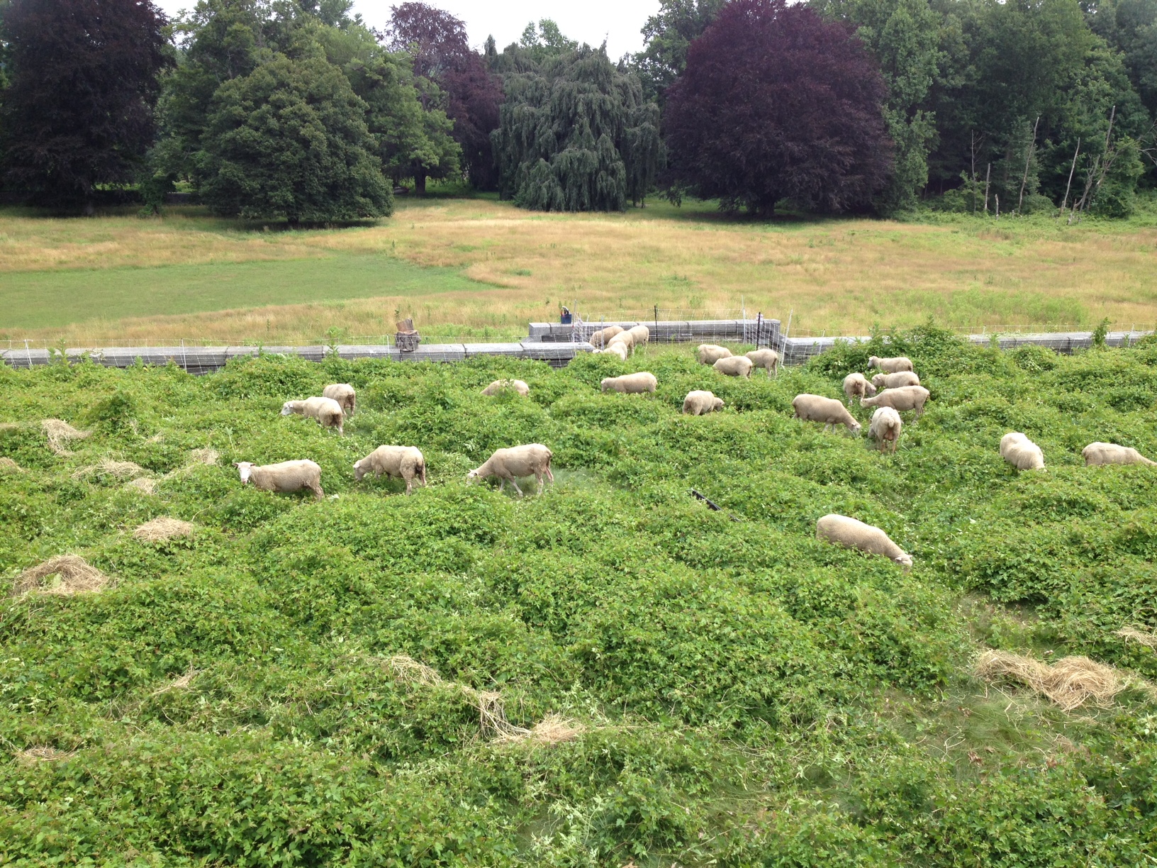
Throughout the year, the grassland at Ganondagan are a delight to visit.  In spring, it is a lush open area of low, green grasses where chirps and buzzes can be heard above anything else. In the late summer it transforms itself into a beautiful 8-foot tall wonderland of wildflowers and golden brown grasses with different seed head patterns, where you can watch even the slightest of breezes wave through all 80 acres!

Post by Whitney Carleton, OPRHP. Photos by Whitney Carleton and Alexis Van Winkle, OPRHP.


Forest Health Specialists: Climbing in Pursuit of Invasive Insects

Forest Health Specialists are an important part of New York State Park’s Invasive Species Management Team. Their work helps protect native plants, wildlife  and forests that are currently being threatened by two non-native invasive species: Hemlock Woolly Adelgid (HWA) and Emerald Ash Borer (EAB). Although these insects are very different from each other in appearance and behavior, they both cause significant destruction and mortality to their host trees.

What do Forest Health Specialists Actually Do?

The Forest Health Specialists are seasonal employees that travel throughout New York State conducting invasive species surveys and monitoring infestations in various Parks. They have training in field biology, forestry, and tree climbing. The team of two camps at the park of interest while completing their work. Surveys involve lots of hiking and investigating trees that look to be in poor health, taking photos, and recording information on location and observations made at each site.

Although hiking in the woods isn’t a bad way to spend a work day, monitoring infestations of HWA is where the job really gets interesting. Specialists need to collect canopy samples from hemlock trees in order to see if insect numbers are declining or increasing. So, using a giant 8-foot slingshot, a line is shot high into the tree to a branch anywhere between 50 to 90 feet above the ground. Then a climbing rope is attached and pulled into the canopy and the fun begins! The Specialist, equipped with a harness and two ascenders (the name for special clips), climbs the rope upwards into the treetop. Climbing can be highly physical but is always rewarding.

3
A Forest Health Specialist working their way up to the canopy using a climbing harness that is attached to the rope. Climbs typically take about an hour.
4
A bird’s eye view looking down from the top of a hemlock. The tiny speck at in the bottom (in the green shirt and white cap) is the other team member!

So What’s the Goal?

The goal of this program is to get a better grasp of where these invasive species are spreading, assessing their impact on the forests, and ultimately taking action to slow their spread and keep their numbers under control. It also allows biologists and managers to anticipate other impacts to wildlife or rare species; to plan for potential avoidance or removal of hazard trees along trails; and to help others understand changes they see in the forest and landscape around us.

Of course a key component to the program’s success is you! By offering educational programs and volunteer opportunities, Forest Health Specialists also help people all over the state learn about invasive insects. The more people participating in and understanding invasive species in New York; the better chance we have of making a difference in our parks and our communities.

Remember, the best way to stop the spread of Emerald Ash Borer and Hemlock Woolly Adelgid is to avoid introducing them in the first place. Don’t move firewood, take caution in moving landscaping debris around, and clean equipment and vehicles if moving from a site with these pests to somewhere else!

For more information go to NYS DEC website:  www.dec.ny.gov/animals/265.html

Post by Kelly Blood (OPRHP). Photos by Kelly Blood and Alyssa Reid (OPRHP).


Four-Legged Grounds Crew

One hundred Southdown sheep once mowed the expansive lawn of William Rockefeller’s estate, Rockwood Hall, in North Tarrytown, NY.  A century later sheep and goats are grazing once again, but now the property is part of Rockefeller State Park Preserve (Preserve) in the renamed community of Sleepy Hollow.

sheep1
Sheep grazing at Rockefeller State Park Preserve.

Over recent years, the steep slopes and historic stone foundation overlooking the Hudson River became overrun by the highly invasive akebia vine (Akebia quinata), porcelainberry vine (Ampelopis brevipedunculata) and other invasive species.  To control the vines and manage the grassy hillsides, the Preserve has partnered with Stone Barns Center for Food & Agriculture, a neighboring non-profit working farm and education center, to rotate sheep and goats around the foundation.  Stone Barns gets more grass and forage for their sheep, while public lands get invasive species more under control in an ecofriendly way.

The project was begun in mid-summer of 2014 with 50 sheep augmented by 7 goats over four months.  This year Rockwood Hall will host 10 Boer goats, 30 Tunis sheep and 50 Finn Dorset sheep. They are rotated every 4-6 days through small paddocks enclosed with temporary electric netting and peripheral fencing.   Chris O’Blenness, a farmer employed by Stone Barns Center, is managing the flock and stays on-site at night in a travel trailer.

This is the first joint Rockefeller State Park Preserve-Stone Barns Center experiment aimed at improving landscape health and ecosystem function.  It is also a potential strategy for increasing access to land for beginning farmers.  Chris O’Blenness is representative of beginning farmers and ranchers who are searching for land to work. This type of symbiotic grazing arrangement on public lands is a potential model for other public lands that can offer beginning farmers affordable opportunities for land access—all while performing a vital public service and delighting Preserve visitors.

Envisioned as a multi-year initiative, this on-going land management is needed to make headway against the fast-growing spread of invasive species.   So far grazing is making a difference, but progress would be lost if grazing were stopped.  Although 90 grazing animals sounds like a lot, it’s not on a large landscape.  We have also added weedwacking and mowing to the rotation.  Since the grazing started, one terrace, once engulfed in a 3 foot tangle of thick porcelainberry vine, is now able to be mowed weekly and visitors are able to spread blankets on grass and picnic where no one dared before.

sheep2
Terrace with porcelainberry in the summer of 2014.
sheep3
The same terrace in December of 2014 after grazing and mowing.

As the Preserve and Stone Barns gain experience and increase numbers of animals, we’re hoping to fine-tune the grazing to achieve ecological and foraging goals.  Meanwhile, the baas of the sheep and goat greet visitors, many of whom now stop and look and think about invasive species and land management challenges.

Post and photos by Susan Antenen, Rockefeller State Park Preserve Manager.

Looking at the Big Picture: Implementing Ecosystem-Based Management in Parks

Ecosystem-Based Management, sometimes referred to as EBM, is a planning tool. It helps guide decisions on where to place development such as roads, buildings, trails, beaches etc., while also considering the long and short term impacts to the environment. It also looks at how development effects not just the surrounding environment, but also the upstream and downstream environment.  EBM helps remind us to take the big picture view when we do work in our State Parks.

New York State Parks’ Environmental Management Bureau has been implementing Ecosystem-Based Management (EBM) in our parks statewide since 2008.

EBM relies on citizen participation, partnerships, science-based approaches, and taking a long-term view   to provide an informed and adaptive approach to protecting our ecosystems while providing park patrons with experiences that connect them to the natural world.

There are 6 main components to EBM. These include:

  1. Place-based focus;
  2. Scientific foundations used for decision-making;
  3. Measurable management objectives to direct and evaluate performance;
  4. Adaptive management to respond to new knowledge;
  5. Recognition of interconnections within and among ecosystems; and,
  6. Involvement of stakeholders.

Taking this approach allows us to look at interacting systems, like watersheds, rather than individual components, such as a specific plant or animal or isolated water quality parameters.  NYS Parks has used this approach to help better understand, protect and manage our resources, such as swimming beaches, lake water quality, forest health, species richness, and aquatic connectivity.

In addition to helping us look at our natural environment in a more integrated way, EBM provides a means to communicate with multiple stakeholders including citizens, scientists, the private sector and government officials.

Ecosystem Based Management Education Panel_1

Ecosystem Based Management Panels at Sunken Meadow State Park on Long Island.
Ecosystem Based Management Panels at Sunken Meadow State Park on Long Island. Click to enlarge images.

NYS Parks will continue to integrate EBM into programs andactivities through training, watershed educational materials and ecosystem research, as well as projects which demonstrate that healthy ecosystems mean healthy communities.  Look for these EBM educational panels at Sunken Meadow State Park on Long Island (pictured above)! More educational panels and kiosks showing how our parks are part of the larger landscape are in the works for parks along the St. Lawrence River and Great Lakes.  Keep an eye out for them!

Post by Gabriella Cebada Mora, OPRHP.


Finding the Footpaths: Creating Trail Maps for New York State Parks

Almost every state park facility in New York has a trail system. As such, it is important that each park have a trail map so visitors can find their way around. Several steps go into creating a trail map including: talking with the park manager, going into the field, and analyzing the data.

The best way to obtain data is by using a Geographic Positioning System (GPS) unit. Parks uses the Trimble GeoXT, which makes a digital map as it collects points, documenting the route travelled as well as any important features. This particular unit comes with a backpack-mounted antenna to increase satellite reception, which is important in heavily wooded areas.

trimbles
Trimble GPS units. The GeoXT, on the right, creates a map in real time. The GPS captures lines and points, takes pictures and is water resistant.

The first step is to talk with the park manager about what he or she wants. It may be that the park has no trail map, only a small portion needs to be updated, or the park is seeking approval on a proposed route. Before heading out, the surveyor uploads reference data to the GPS including park boundary, existing trails and any other useful data. Then, they go the park and start hiking.

maddy 1
Maddy Gold collecting data in Clarence Fahnestock State Park.

In the field, it is important to document every trail, even if it is not an official trail. This is important for rescue teams trying to locate an injured person within the park. Other notable features to collect include: scenic views, picnic areas, restrooms, parking lots, bridges, eroded areas, blaze color, and more.

When the surveyor is confident they have collected all relevant data, they take the data back to the computer and put it into a program called GPS Pathfinder. This program corrects for any inaccuracies in satellite reception by matching the points against current imagery.

mapping 1
GPS Pathfinder Office with data and Differential Correction Wizard. This software corrects for satellite discrepancies and produces the most accurate data possible.

The last step is to put the corrected data into GIS (Geographic Information Systems). This program allows the surveyor to produce a map using the features recorded on the GPS. With all the information about the park in hand, the surveyor sends a draft of the trail map to the park manager. When the park manager is satisfied, the map can be published for use by the public.

mapping 2
ArcGIS window showing the shape file for the state of New York.

Post by Maddy Gold, OPRHP SCA Intern.