Liz Titus Putnam looked at dozens of people in the dining hall at a Dutchess County summer camp — eating, talking and laughing — and she saw a room full of connections.
Although many people in the Sharpe Reservation hall that October morning were in their early 20s, their ties stretched back to 1953. That was when Putnam, a 20-year-old Long Island native and junior at nearby Vassar College, came up with an idea.
After reading a magazine article on the deplorable state of the national park system, Putnam used her senior thesis to propose a voluntary student service program to work at the parks. Her inspiration came from the Civilian Conservation Corps created two decades earlier by President Franklin Roosevelt to provide work for the unemployed during the Great Depression.
“I knew that I would be interested in doing that work. And I thought other young people would be interested, too,” Putnam said.
Through timely encouragement and helpful connections that seemed to show up just when needed, the new college graduate founded what became the not-for-profit Student Conservation Association (SCA), with its first crews of 53 men and women (Herself included) arriving in 1957 at Grand Teton and Olympic national parks to do trail work. The Peace Corps and Earth Day were still years away.
Six decades later, more than 90,000 young people from every part of the U.S. and many foreign countries have gone through the SCA, with most members later going on to jobs and careers in the field of conservation at a myriad of organizations.
Since the beginning, SCA members have performed about 40 million hours of public works service at parks and other public lands. In today’s dollars, that would be worth about $600 million.
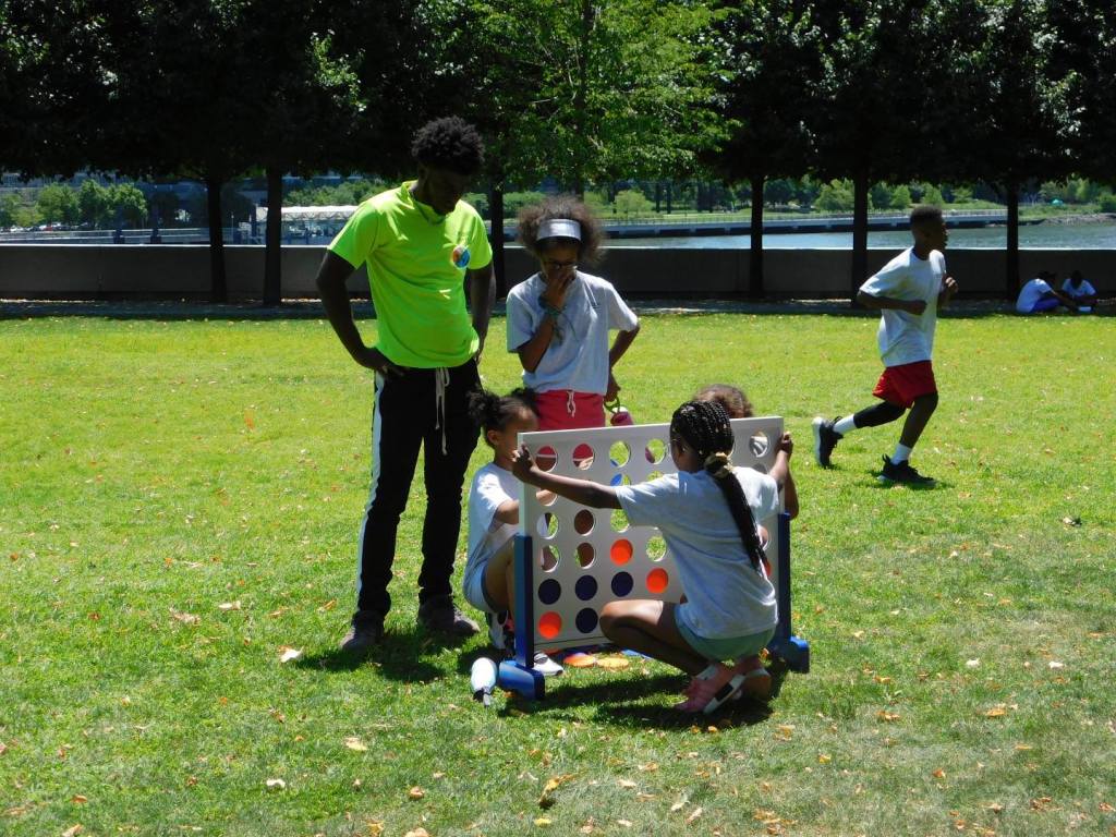
Last month, their ranks grew by another 40 people who graduated from the Hudson Valley SCA 2019 program under Putnam’s appreciative and proud gaze. The ceremony was held at the Fresh Air Fund’s Sharpe Reservation in Fishkill.
“I have so much hope for the future, to see young people getting involved,” said Putnam, now an 86-year-old resident of Vermont where she lives on a farm. She retired from running the organization day-to-day as its president in 1969, but under the title of Founding President remains active and involved.
“You will have many adventures. You have one life, and it goes by very fast,” Putnam told the Hudson Valley SCA graduates. “It is what you do each day. You are part of a team, with the humans all around this earth. Each person counts.”
Putnam believes that connections helped her all along the way, starting with her faculty advisor at Vassar who encouraged her to pursue her idea. Then through a family connection, she met the daughter of the late Stephen Mather, first director of the National Park Service. She in turn introduced Putnam to his successor, former park director Horace Albright. He was intrigued enough by the idea to urge her to visit four national parks to gauge local interest in a volunteer corps, giving her a letter of introduction to ease the way. After that trip in 1955, the superintendents at Grand Teton and Olympic said yes to accepting her student volunteers.

“I had no connections at the time, But the connections appeared when they were needed. That is the miracle,” Putnam told a visitor at the Hudson SCA graduation.
Speaking there, Putnam shared her tale of actually joining the group that she helped found. It was after fires had devastated Yellowstone National Park in 1988 and the SCA was lining up people to come help. She was 56 years old.
“I spoke to our staff, asking if anyone could join. And they said yes. And I asked if I could join, and they said yes,” Putnam said. “And I said, no special treatment, treated just like everyone else? And they said yes.”
After filling out an application, she got her SCA acceptance letter (she recalled saying ‘Yippee!” upon opening it), later arriving at Yellowstone under an assumed name to wield hand tools and help other members repair burned out bridges and cut downed trees. One day, a college student from Texas said he knew who she was, because she had spoken at his school about the SCA. “I asked him to keep it to himself, and we would be fine. And he did,” said Putnam.

“Liz is very inspiring,” said Dana Reinstein, a 23-year-old Queens resident who is finishing her second SCA stint. “I got to meet her when she was at Vassar last year, when she was helping plant a tree there.”
Now serving as an environmental educator in New York City schools, Reinstein said working at the SCA was about “a lot of new connections and experiences,” starting with lessons on how to use hand and power tools. “This is not something that I ever thought I would do. When I started, I did not even know how to use a hammer properly.”
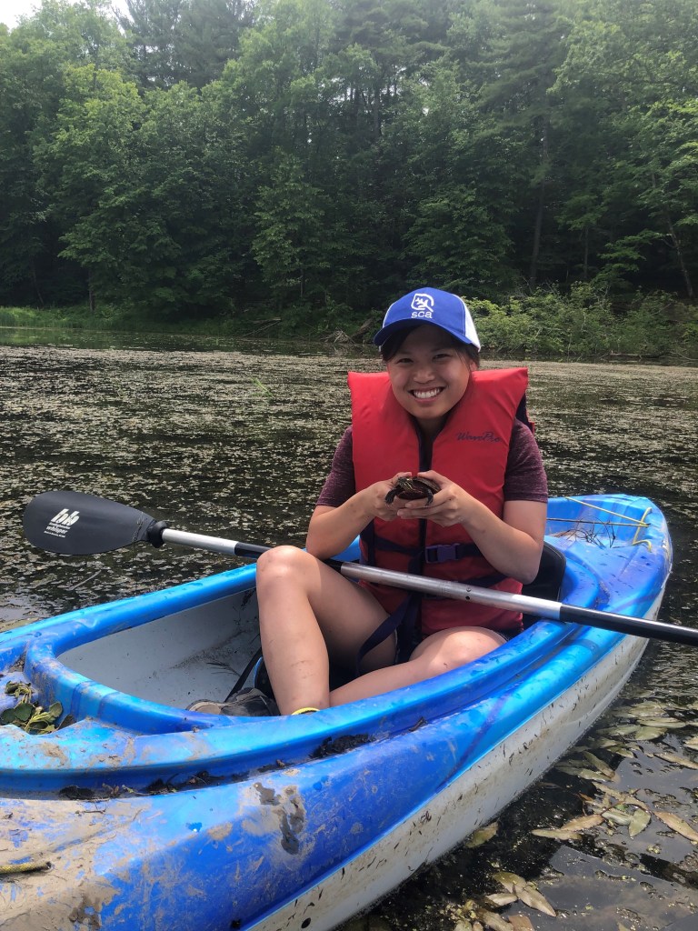
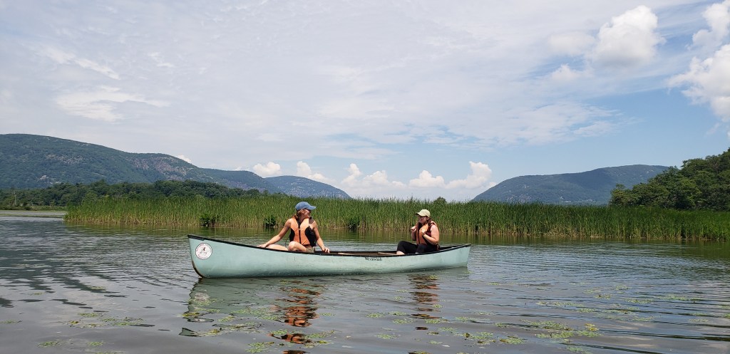
A graduate of SUNY Fredonia with a degree in geology, Reinstein became part of an SCA team that provided more than 71,000 hours of service, valued at $1.7 million, working this year on trails, waterways, and recreational habitat.
Marking its 20th anniversary, the Hudson Valley SCA works with New York State Office of Parks, Recreation and Historic Preservation, New York State Department of Environmental Conservation, local Soil & Water Conservation Districts, Scenic Hudson, Audubon New York, and Vassar College. The Hudson Valley SCA Corps is an AmeriCorps program.
Some 900 young adults have gone through the Hudson Valley SCA since it started, logging some 1.7 million hours of service that would have cost $30 million if workers had to be hired.


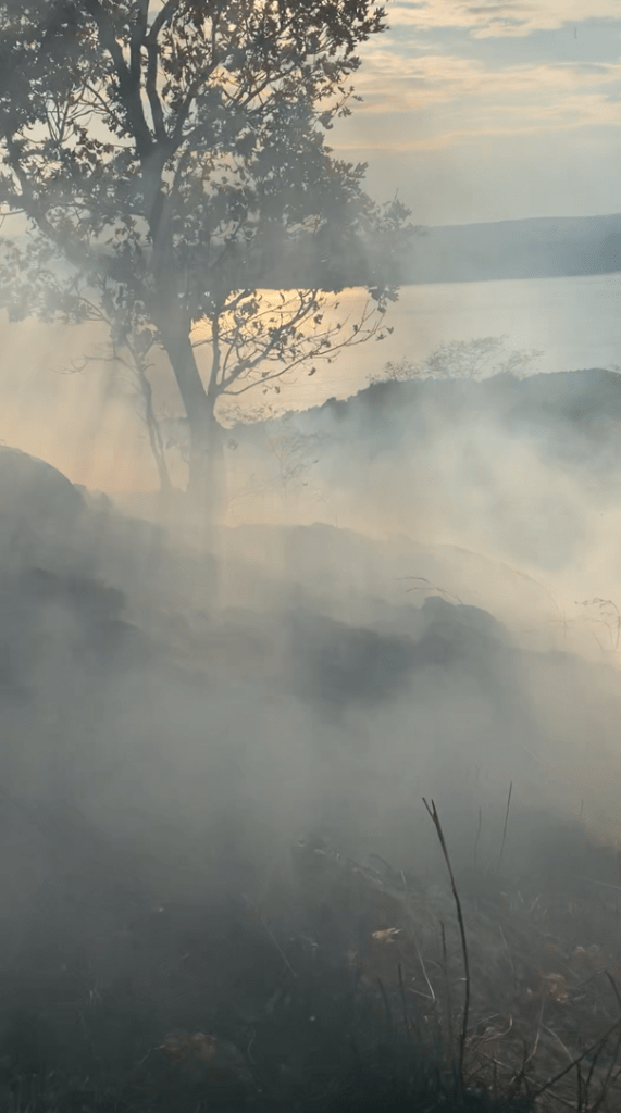
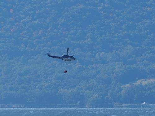
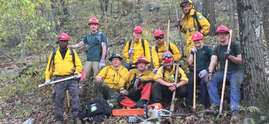
Check out this slideshow of some of the members of the Hudson SCA 2019 session. (Credit: Hudson SCA)
‘Once an SCA member, always an SCA member’ seems to be a cardinal rule of the organization. When Putnam asked how many people attending the graduation had been in SCA, many hands went up.
One belonged to Melissa Miller, park manager for Grafton Lakes State Park, Cherry Plain State Park, and Bennington Battlefield State Historic Site.
Miller did two SCA terms in 2001 and 2002, working on landscape tours at Olana State Historic Site, and then as an environmental educator at Grafton, where she was hired subsequently as a State Parks employee.
“Before that, I had been working in a restaurant. Being in the SCA was such a wonderful experience,” Miller said. “It gave me my career.”
Sarah Davies, an alumna of the original Hudson Valley Corps in 1999, is now Chief Environmental Educator with State Parks after service with DEC. “SCA was the best decision of my professional life. It was the catalyst for my 20 years in government service,” she said.

Post by Brian Nearing, Deputy Public Information Officer for NYS Parks
Learn about applying to SCA here.
See Liz Titus Putnam interviewed on the 2009 Ken Burns film “The National Parks: America’s Best Idea”
Read the 1953 Harper’s Magazine article that inspired Liz Titus Putnam — then a 20-year-old college student — to create the Student Conservation Association. She described the article as “hitting me like a bolt.”
Read this in-depth interview with Liz Titus Putnam
Watch a short history of the SCA