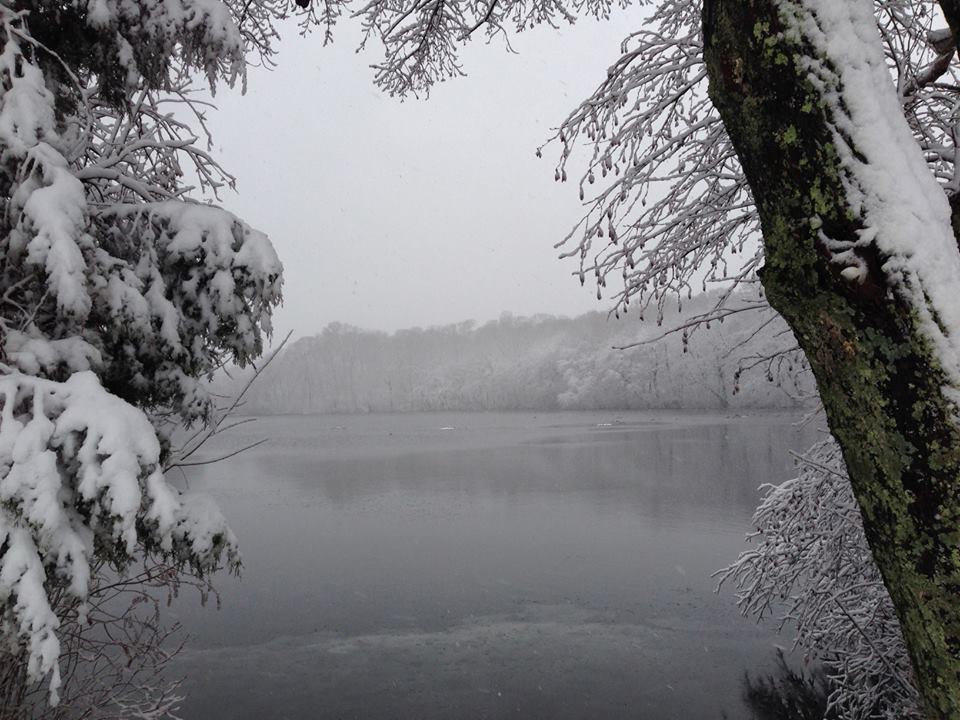
For people with differing levels of physical ability, it can be difficult to know in advance whether a hiking trail might be too steep, too narrow, too soft, or otherwise not suitable.
Here at State Parks, we are working to help address that through something called the Universal Trail Assessment Process (UTAP). Developed in the 1990s by a Nevada-based company specializing in aiding differently abled people to engage in recreation, UTAP is a system of objective measurements taken at specific intervals along an unpaved trail to form an accurate picture of its difficulty, in terms of grade, width, surface firmness and cover.
UTAP is the creation of Beneficial Designs, whose founder Peter Axelson suffered a spinal injury in the mid-1970s. Axelson later went on to become a championship alpine adaptive skier and founded his company to design and fabricate adaptive recreational equipment for people with mobility impairments. The company also develops accessibility standards for ski areas, amusement parks, playgrounds and other outdoor recreation environments.
Parks is entering our third year of the UTAP program, having measured more than 19 miles of trails at 17 different State Parks in 2019 and 2020. It is a time consuming process done on foot with several hand tools, with measurements taken at least every 100 feet. That has meant nearly 1,200 individual measurement points have been recorded so far!
So if any hikers encounter Parks staff carrying a clinometer (a protractor-like device used to measure grade), a hand-held roller wheel (used to measure distance), a level, and a hand-held GPS unit (used to record locations), they have seen the UTAP process in action.
The trail measuring tools under the Universal Trail Assessment Program.(Photo credit – Beneficial Design)
Student Conservation Association member Tyler Stempsey measures trail accessibility at the Olana State Historic Site. (Photo credit – NYS Parks)
This year, a new wheeled “buggy” is being acquired by State Parks that will carry a laptop computer to make measurement recording faster. With the buggy, an entire mile of trail can be measured in about an hour, a big improvement over doing everything manually.
This work is being supported by a Recreational Trail Program (RTP) grant from 2019, with the project currently scheduled to run through 2022.
These thousands of measurements are meant to identify which Parks trails meet what is called Recreational Trail Accessibility Standards (RTAS), which State Parks adopted from the United States Access Board standards and United States Forest Service standards Trail Accessibility Guidelines. These standards set requirements for maximum trail steepness, width, surfaces, passing space, resting areas, trailheads, gates, and signage.
With such measurements, Parks will be able to publicize trails that already comply with RTAS and prioritize trail improvement projects that would increase trail compliance with RTAS.
A sample is shown here of how measurements and surface conditions developed through UTAP can be represented visually. This shows a steep pitch across a trail, called a cross slope, that results in a soft, damp trail surface with mud, a situation which would render that trail out of compliance with the RTAS requirements.
So far, trails identified as meeting these standards include the Upper Falls Lookout Trail at Letchworth State Park and the Awosting Falls Connector Trail at Minnewaska State Park Preserve.
There are also several trails that are close to meeting RTAS with minor modifications including: the Bog Trail at Chenango Valley State Park, the Beacon Hill Trail at Minnewaska State Park, the Bike Path at Schodack Island State Park, and the Green Lakes and Round Lakes Trail at Green Lakes State Park.
This map shows trails in State Park showing where UTAP measurements have been made. (Photo Credit – NYS Parks)
Work is currently under way to improve the Green Lakes trails (park is #3 on the map above) so it meets standards.
More information on the UTAP assessment process and standards specific to State Parks and the trails examined so far, as well as an interactive version the above map, can be found here.
Once the measurement data is compiled and finalized, Parks will be able to provide a listing of accessible trails, as well as focus future improvement efforts on trails close to meeting accessibility standards.
The data we are collecting will also allow Parks to create detailed trail access information signs, which would provide visitors at trailheads with vital information such as slope, surface cover, distance, clearance, and elevation gains.
An example of a trail sign based on measurements of grade and cross slope taken under the UTAP system. (Photo Credit – Beneficial Designs)
The goal of the UTAP program is to make Parks trails more inclusive to all, regardless of ability. If you have a favorite trail that could be assessed for accessibility, let us know in the comments!
Cover Shot – Parks staffer Sean Heaton assesses trails at Minekill State Park in Schoharie County. (Photo Credit – NYS Parks)
Post by Victoria Roberts, GIS/Accessible Trails Technician, NYS Parks
“Can you imagine anything freer and more exciting than when you, swiftly as a bird, zoom down the wood-clad hillsides while country air and spruce twigs whiz by your cheeks and eyes; brain and muscles tense, ready to avoid any unknown obstacle which any moment might be thrown in your path? You are one with your skis and nature. This is something that develops not only the body but the soul as well, and it has a deeper meaning for a people than most of us perceive.”
— Fridtjof Nansen – Norwegian explorer, scientist, humanitarian and advocate for cross-country skiing, 1890
The use of skis to cross winter terrain dates back millennia, with the oldest-known image of a person on skis carved about 5,000 years ago into the rock of a Norwegian island.
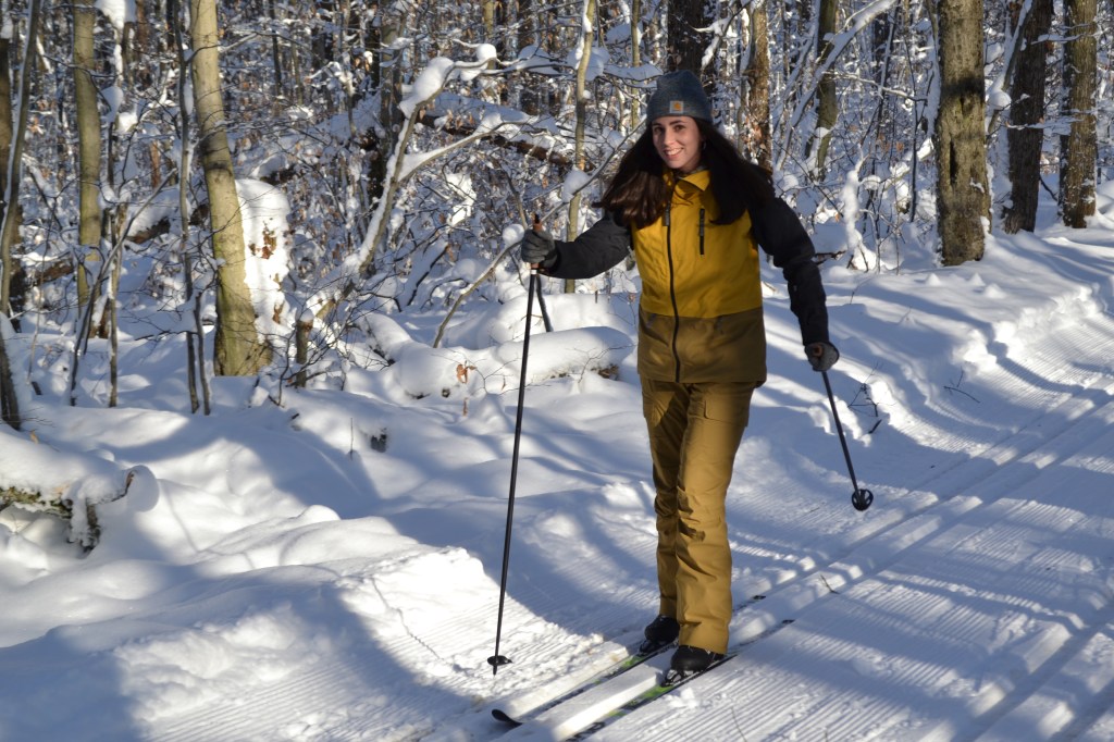
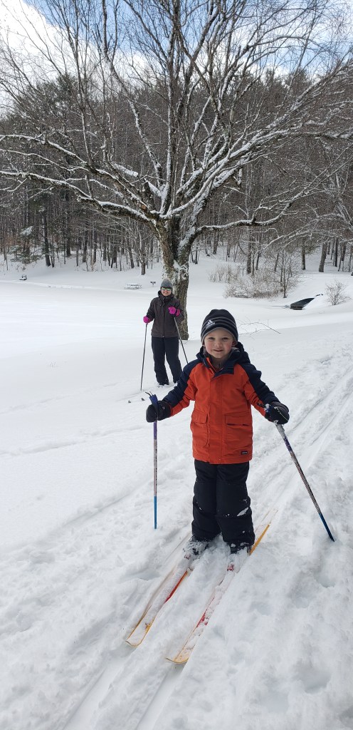
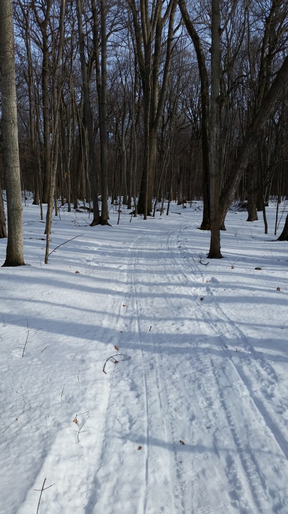
When winter graces the state with snow, State Parks are a great place to enjoy cross-country skiing, with many miles of ski trails for all abilities, from beginner to expert across 104 state parks and eight historic sites spanning the state.
Known in shorthand as XC (or also as Nordic) skiing, this family-friendly sport is a full-body, low-impact cardio workout as well as a wonderful way to get outdoors during winter to see how beautiful the season can be. Skiing is quiet as well, so skiers often have a chance to spot wildlife (and also get a close look at its tracks) that has not been scared off by their approach.
A 1938 poster by the Works Progress Administration promotes cross-country skiing in New York State. (Photo Credit-Wikipedia Commons)
After a promising December start for XC skiing, this season has suffered from a dearth of snow. Perhaps a snowstorm or two is still to come before spring, or if not, this list can be held until the start of next season. Always call ahead to check on snow conditions.
This online map from the National Oceanic and Atmospheric Administration also is a handy tool for getting a picture of snow cover across the state when planning a ski trip.
Either way, to help decide where to go in State Parks when conditions allow, here are some staff favorites. Check each park’s website for a map of their trails:
Allegany Region
With 24 miles of trails, the Art Roscoe Cross Country Ski Area at Allegany State Park in Salamanca, Cattaraugus County, offers some of best groomed skiing in western New York. Novices can try the 3.5-mile Christian Hollow Trail, a loop with gentle grades, or the multi-use, 3.5-mile Red House Bike Path.
Intermediate skiers can try the 3.3-mile Patterson Trail, which is a former rail bed. There are parking areas at both ends of the gently sloping trail, so a shuttle trip can be done by leaving cars at both ends.
Other more adventurous skiers can tackle the Ridge Trail for a 7.7- mile trek geared to intermediate to advanced skiers.
Ski equipment rentals are available at the park’s gift shop at the Red House Administration Building. Trail reports can be found online here.
Finger Lakes Region
The extensive trail network at Harriet Hollister Spencer State Recreation Area in Springwater, Livingston County, has grooming and is about an hour’s drive south of Rochester. Be prepared to share some of the trails with fat tire bikers on occasion.
A golf course can be a great place for novices to learn and practice, since such terrain is open, free of obstructions and tends not to be very steep. Going doing hill as a beginner? Remember to hold those skis in a “V” shape to control your downhill speed as you test out the friendly terrain at Soaring Eagles Golf Course at Mark Twain State Park in Horseheads, Chemung County.
Central Region
There are 12 miles of trails at Selkirk Shores State Park in Pulaski, Oswego County. A staff favorite is a beginner/intermediate three-mile loop that incorporates the Front Pond Trail, Pine Grove Trail, a section of the 52C snowmobile trail, and Red Fox Trail, before returning to the Pine Grove Trail
Verona Beach State Park, in Verona Beach, Onedia County, offers miles of trails where they might encounter wildlife like white tailed deer, squirrels, foxes, and more. The two-mile Hog’s Back Trail loop follows a natural rise along Verona Beach’s massive swamp. Keep your eyes open at the overlooks for a potential glimpse of the nest of a mated pair of bald eagles.
There are about 15 miles of trails at Gilbert Lake State Park in Laurens, Otsego County. The mile-long trail around the namesake lake is periodically groomed, as is the two-mile Ice Pond Trail to the Twin Fawns Lake Trail.
Genesee Region
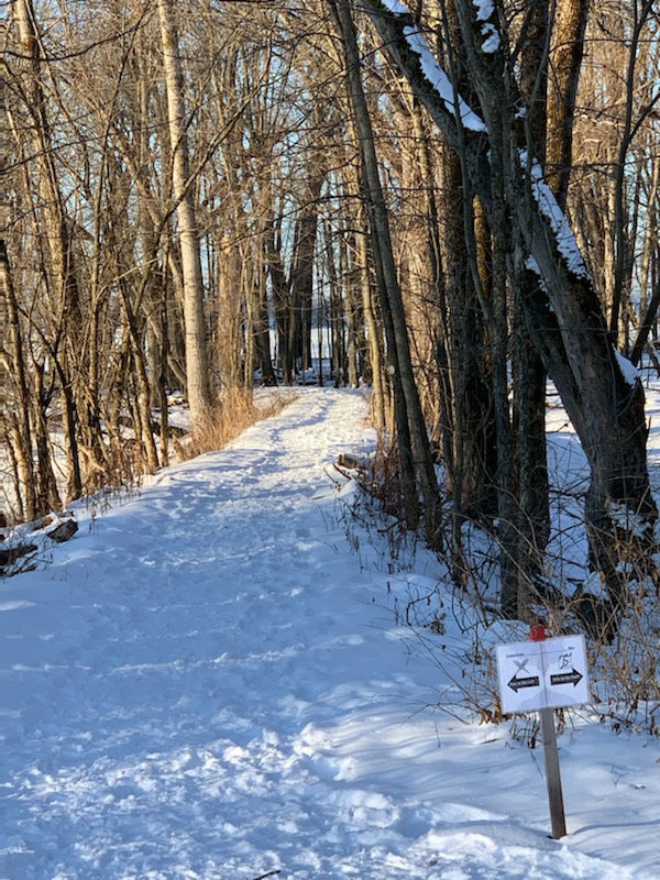
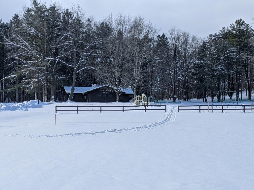
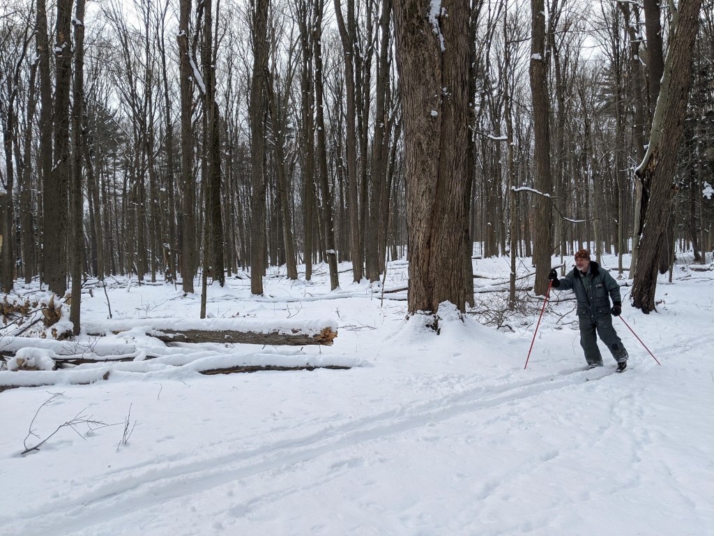
In Wyoming County, head for Letchworth State Park in Castile, and its Humphrey Nature Center and the Winter Recreation Area at Trailside Lodge. Here, there are three beginner trails, each about 1.5 miles long.
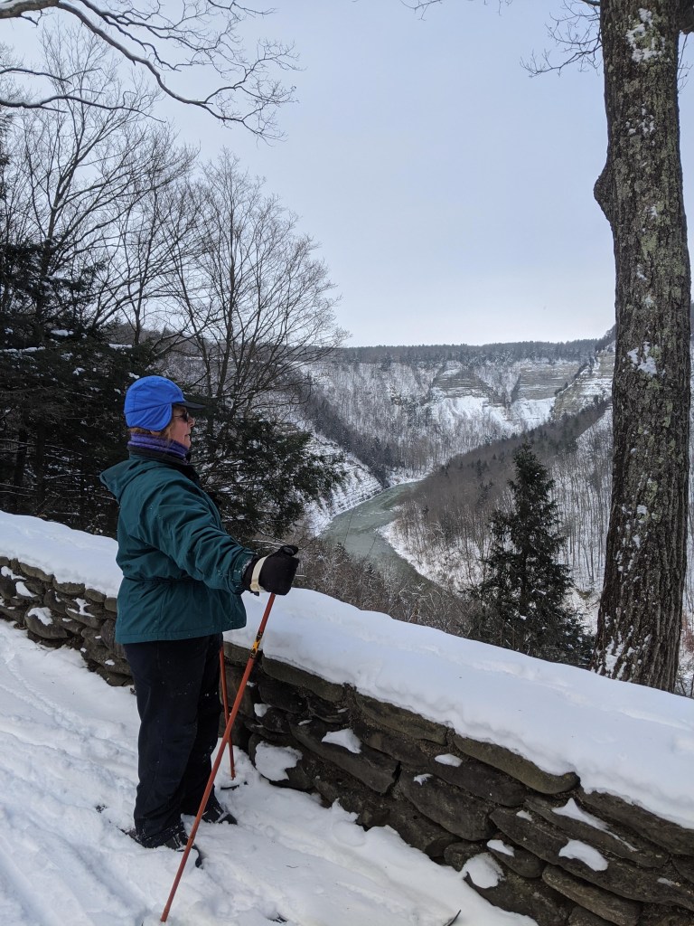
The park contains seven different parking areas to access about 15 miles of (usually ungroomed) trails. Glide through old-growth forest on the Gravel Loop and the Bishop Woods Loop. For great views of the spectacular Great Bend Gorge, check out the Chestnut Lawn Loop.
Long Island Region
There are two ungroomed trails at the Caleb Smith State Park Preserve in Smithtown, Suffolk County _ the 1.5-mile beginner Green Trail that goes through woods, fields and wetlands, and the 1-mile Orange Trail that offers view of Willow Pond.
At the Connetquot River State Park Preservein Oakdale, Suffolk County, there are many miles of marked hiking trails that can be skied. There is no grooming, and trails range from one to eight miles in length. The preserve includes an historic former sportsmen’s club and a newly-restored 18th century gristmill.
About six miles of ungroomed trails, ranging from intermediate to advance, are found at Sunken Meadow State Park in Kings Park, Suffolk County. Take the Field 4 Trail to ski through woods before reaching overlooks for Sunken Meadow Creek and Long Island Sound. No skiing is allowed on the golf course.
Niagara Region
At Knox Farm State Park in East Aurora, Erie County, explore the Outer Loop Trail that begins at the Red Barn Parking Lot. A 2.7-mile trail suitable for beginners, it meanders through open pastures and fields, with some short legs through forests and views of farmlands and valleys.
Explore trails at Evangola State Park in Irving, Chautauqua County, to capture views of Lake Erie. The trail network covers about five miles, with the Rim Trail running along the edge of the lake.
Saratoga/Capital Region
At Mine Kill State Park in North Blenheim, Schoharie County, start at the park office for the moderate, three-mile Long Path/Bluebird Trail Loop, which offers sweeping views of the Schoharie Valley and the Blenheim-Gilboa Reservoir. Snowshoes and a small assortment of XC skis are free to borrow from the Park Office with a small deposit.
The moderate/intermediate Shaver Pond Trail at Grafton Lakes State Park in Grafton, Rensselaer County is a two-mile loop around the pond, where you can often see signs of beaver activity. The trail has some roots and rocks, so be mindful of snow cover. The park office rents snowshoes, but not skis.
Skiers have been going to Thacher State Park in Voorheesville, Albany County, for years because of its extensive trail network. Try out the lesser-used North Zone of the park, and its Fred Schroeder Memorial Trail, a three-mile intermediate loop through fields and forests. Use the Carrick Road parking area.
Beginners can practice on groomed trails that run for a total of three miles through the camping loops and around the lake at Moreau Lake State Park in Moreau, Saratoga County. There is skiing on ungroomed trails through the rest of the park.
Taconic Region
While there are no marked or groomed trails for skiing at James Baird State Park in Pleasant Valley, Dutchess County, the park’s golf course and many small, undulating hills there are a great place for beginners to practice climbing, turning, slowing and (maybe a little) falling.
Skiers could spend days touring the 25 miles of carriage roads at Rockefeller State Park Preserve in Pleasantville, Westchester County. Some favorites are the beginners’ 1.15-mile Brothers Path/Swan Lake Carriage Road, with views of the lake; the Thirteen Bridges/Gory Brook Carriage Roads, which along 2.5 miles of intermediate terrain offer view of the Pocantico River and waterfalls; and the intermediate Rockwood Hall Middle, Lower and Foundation Loop Carriage Roads, that go past the Hudson River.
There are 12 miles of trails at Fahnestock Winter Park in Carmel, Putnam County. Equipment rentals are available at the lodge, which also marks the start of the popular Lake Trail. Weather permitting, trails are also groomed on the lake. The trail will take you by a beaver lodge, over the dam built by the Civil Conservation Corps during the Great Depression, and past many small islands.
Cross-country skiing at Old Croton AqueductState Historic Park in Dobbs Ferry, Westchester County can be as near as one’s own backyard, as most of the ungroomed 26-mile trail is bordered by homes. As the park is level, the area is great for those who are new to the sport.
The Aqueduct is crossed by many streets, and the best cross-country skiing is found in the sections with the fewest road crossings. Top on the list is the section from Gory Brook Road in Sleepy Hollow to Country Club Lane in Scarborough, about two and a half miles of level trail through the woods. This section connects to Rockefeller State Park Preserve. Those who like hills should enter Rockefeller Preserve just north of the Weir chamber and follow the Peggy’s Way trail south for some gentle hills before returning to the Aqueduct.
Another popular area is at the northernmost section by the Croton Dam. Here the trail clings to the sides of a steep gorge through which runs the Croton River. The Gorge is a park of its own, operated by the Department of Environmental Conservation and called the Croton Unique Area. Only two lightly-traveled roads cross the 2.5 miles of wooded Aqueduct trail as it heads south to Croton.
Curiously the most densely-populated area through which the trail runs also features a fine area for skiing. This section, likewise of about 2.5 miles, has two road crossings, but almost all of it runs through the woods, with unparalleled winter views of the Hudson River and Palisades.
Palisades Region
There are stunning clifftop views from trails at Minnewaska State Park Preserve in Kerhonkson, Ulster County. Being free of rocks, roots and other obstructions, the 16-mile network of carriage trails are wide and “skiable” even with only a few inches of snow.
Thousand Island Region
At Robert Moses State Park in Massena, St. Lawrence County, there are more than five miles of trails through the woods and along the St. Lawrence River in NY. The Nicandri Nature Center offers ski and snowshoe loans for all ages as well as ski instruction.
In the western Adirondacks, Higley Flow State Park in Colton, St. Lawrence County, has the popular 1.3-mile Overlook Trail that passes through a pine and spruce forest. This trail connects with the Backcountry Trail (1.9 miles) and the Warm Brook trail (1.6 miles) for those wishing to challenge themselves further.
This is just a sampling of the ski trails at State Parks. So, when snow is on the ground, grab your skis, and get out there!
Cover Photo: Skiers at Saratoga Spa State Park. All photos by State Parks.
By Brian Nearing, Deputy Public Information Officer for NYS Parks
Read this history of cross-country skiing in the Adirondacks.
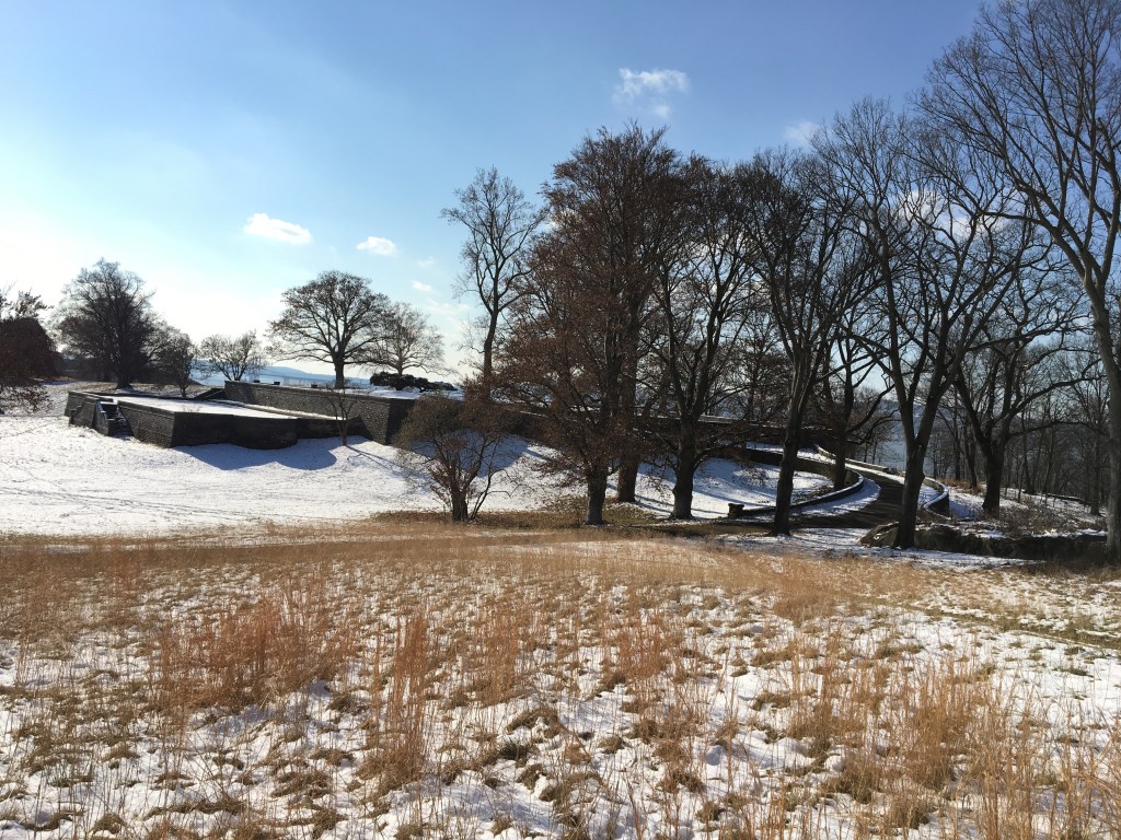
With autumn leaves now turned, hiking in the Palisades region of State Parks offers spectacular views of the Hudson Valley and the Catskills to go with a fascinating history that includes an outlaw’s lair, the state’s early iron industry, and a traitor’s secret meeting place.
Located
on the west side of the Hudson River, this region between the Capital Region
and New York City stretches through Rockland, Orange, Ulster and Sullivan
counties, and contains 23 parks and seven historic
sites.
As
with all hikes, there are few things to remember beyond carrying a mobile
phone. Wear sturdy yet comfortable shoes or boots, bring water and snacks, and
perhaps carry a camera, to capture what you see. Be mindful of hikes on steep
terrain or that go near cliff tops. Having a small first-aid kit available in case
of emergency is never a bad idea
Hiking
poles are useful, and can transfer some of the stress of hiking from your knees
and legs to your arms and back. And use a trail map, which is available online
at each park website at https://parks.ny.gov/ and at the
main office at each park. Check the park’s individual website to see if its
maps can be downloaded to your iOS Apple or Android device, but a paper map is
a good backup in the event of device failure.
These
maps include Park facilities such as parking, park offices, nature centers,
campsites, and boat launches in addition to the location, name and distance of
each designated trail in the park. For some facilities, data is available as a
Google Earth KML file or a map is available to download to your iOS Apple and
Android mobile devices in the free PDF-Maps app. Learn more…
For the Palisades region, more information on hikes is also available online from the New York-New Jersey Trail Conference, and at the bookstore near Exit 17 on the Palisades Interstate Parkway.
It’s smart to know how long a trail is and how long it ought to take to finish. Since daylight is not an unlimited resource, especially in fall as days grow shorter, tossing a flashlight or headlamp into your backpack is a good form of insurance, should you unexpectedly find yourself on the trail as dusk approaches.
And,
as the incidents of tick-borne diseases surge in the state, it is always
important to check yourself for ticks after being outside, even if it is only
time spent in your own backyard.
Rockland County
Rockland Lake State Park, 299 Rockland Lake Road, Valley Cottage, (845) 268-3020: The Nyack River Trail runs along the western short of the Hudson River between Haverstraw Beach State Park and Nyack Beach State Park. About five miles long, the level trail offers excellent river views. It is lined with crushed stone, and so is easy on the knees for a run, and also makes for an excellent bike ride or walk with a dog (must be leashed per NYS Parks rules). This trail also passes a county historical marker for the infamous “Treason Site,” where during the American Revolution in 1780 American General Benedict Arnold meet secretly with British spy Major John Andre to hand over plans for the capture of the strategic Patriot fortress at West Point. Thankfully, the plot was thwarted, with Arnold becoming one of the fledgling nation’s most despised figures.
A historical marker for the Treason Site erected by the Rockland County Historical Society (Photo from Wikipedia Commons.)
Harriman State Park,
Seven Lakes Drive/Bear Mountain Circle, Ramapo, (845) 947-2444: At more than
47,500 acres, the second-largest State Park has more than 200 miles of hiking
trails. At its northeastern edge, it borders Bear Mountain State Park as well as the
U.S. Military Academy’s forest reserve. To the southwest lies the 18,000-acre
Sterling Forest State Park. This vast park includes a large rocky shelter that
was the remote hideout for a bandit named Claudius Smith, who led a gang
of pro-British marauders during the American Revolution, known at the time by
terrified local residents as “Cowboys.” To find it, go to the parking lot at
the end of Old Johnstown Road, and look for the Blue Trail. Follow this steep
trail to the top of Dater Mountain for its views, and then continue until you
reach the rocky den, which had enough room to shelter both the gang and their
horses. After taking in the panoramic views, which allowed the gang to see
anyone coming, head down on the Tuxedo-Mount Ivy Trail to return to the parking
lot. The hike is a five-mile trip, with one very steep section.
A vintage photograph of hikers exploring Claudius Smith’s Den.
Ulster County
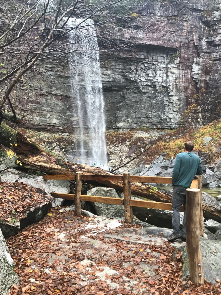
Minnewaska State Park Preserve, 5281 Route 44-55, Kerhonkson, (845) 255-0752: Take in Catskills from atop the Stony Kills Falls at the northwestern edge of the park on this short, but challenging one-mile hike. Start at the parking area at the end of Shaft 2A Road and follow the gravel trail that crosses two wooden bridges on its way to the base of the 78-foot waterfall. Follow a set of stone stairs upward, using iron hand holds and railings for safety, to reach the top of the falls and its sweeping northerly views. You can either backtrack to the parking lot, or connect to the Stony Kill Falls carriage road atop the Shawangunk escarpment to make a longer hike.
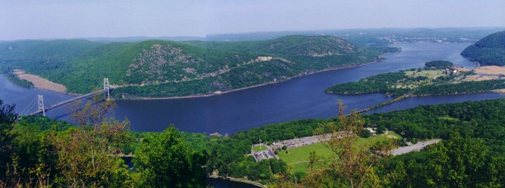
Bear Mountain State Park, Palisades Parkway or Route 9W North, Bear Mountain,
(845) 786-2701: Take
in the view of four states and even glimpse the Manhattan skyline from the
Perkins Memorial Tower atop 1,289-foot Bear Mountain. Take the completely
rebuilt Appalachian Trail, which features about 1,000 stone steps along a steep
granite face. It took crews, including members of the New York-New
Jersey Trail Conference, seven years of arduous labor to renovate the 1.5
mile trail up to the top. There is a new wooden bench at one of the lookouts
for those who might find themselves in need of a breather on the way up.
The view from the top.
Also
at Harriman, photographers will enjoy the trail to West Mountain that starts at
the Anthony Wayne
Recreation Area.
Start on the Fawn Trail to the Timp-Torn Trail, which takes you to the mountain
ridge to the West Mountain Shelter. From there, return using Timp-Torn to the
intersection of the Appalachian Trail westbound, which will lead to Beechy
Bottom Road that returns to the main parking area. The moderate hike is about
five miles.
Sterling Forest State Park, 116 Old Forge Road, Tuxedo, (845) 351-5907: For larger groups
or school trips, there is the Lakeville Ironworks Trail Loop, which takes in
the remains of an iron industry that once dominated the area. At about a mile
long, the easy loop includes views of Sterling Furnace, the Lake Mine, and
other mining remnants. This trail is among more than 30 trails, including the
Appalachian Trail, within a 21,935-acre park in the midst of the nation’s most
densely populated areas.
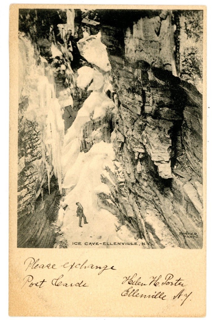
The most popular features of the Sam’s Point Area of Minnewaska State Park Preserve are the Ellenville Fault Ice Caves. This remarkable system of crevice caves fills up with ice and snow each winter, and retains some of its ice well into the summer. Even when the ice is completely gone, the caves remain cool all year round. This unusual phenomenon has drawn people to the caves for generations.
A postcard from c. 1909 showing the snowed-over entrance to one of the caves. The man in the image is an illustration, and slightly exaggerates the scale.
The significance of the caves has even been recognized by the National Park Service. In 1967, the NPS designated the Ellenville Fault Ice Caves as a National Natural Landmark. This designation is given to natural sites that exemplify the special or unique biological or geological features of a region.
Geologically, the Ice Caves are unlike other caves in the Northeast. Most cave systems are made of limestone, which is easily eroded and dissolved by water. This results in the large, open caverns that most people imagine when they think of caves. The Ellenville Ice Caves, on the other hand, are formed out of extremely hard and insoluble quartz conglomerate. When underlying rock layers were folded by tectonic movement, the hard conglomerate separated along existing joints in the rock.
Cutaway images demonstrating two forms of crevice cave formation. Source: Jack Fagan, Scenes and Walks in the Northern Shawangunks
The caves remain cold because of the natural refrigeration system that exists within them. When air moves across the top of the crevices, the colder, heavier air sinks down into them. The cold air then becomes trapped in the caves, keeping them at a comfortable temperature even during the hottest days of the summer.
While they received the National Natural Landmark designation because of their unique geologic importance, the Ice Caves have a great deal of ecological impact as well. The NY Natural Heritage Program recognizes the ice cave talus community as globally uncommon and rare in the state and a priority for protection. Because of their cold microclimate, the Ice Caves are home to several species that are infrequent in the region. These include goldthread (Coptis trifolium), mountain ash (Sorbus americana), and black spruce (Picea mariana), among others. Scientists have also taken interest in the presence of a species of cave-dwelling crustacean (Stygobromus allegheniensis) that is only found in four states: New York, Pennsylvania, Maryland, and West Virginia. This little arthropod lacks eyes, as it does not need them in complete darkness. It is also able to survive being frozen, a necessary attribute for surviving winter conditions in the caves.
Strygobromus allegheniensis. Note the pale coloration and lack of eyes, typical features of cave-bound organisms. Image source: Espinansa et al. (2015)
The Ice Caves have local cultural significance as well. Many residents of the Shawangunks remember the days of “Ice Caves Mountain,” when the Sam’s Point area was managed very differently than it is today. From the late 1960s to the early 1990s, much of Sam’s Point was privately owned and operated as a tourist attraction. Visitors could drive their cars right up to Ice Caves, while a pre-recorded cassette tape described the various features encountered along the way. Doors were placed over the caves to keep the ice inside year-round, and the ice was lit up by multicolored flood lights. A rock wall was built on the cliffs of Sam’s Point to dissuade visitors from getting too close to the edge. While it may have been somewhat kitschy by today’s standards, it cannot be denied that “Ice Caves Mountain” was an important step in allowing the greater public to experience this previously obscure natural wonder.
Gully with snow at Sam’s Point, photo by Greg Edinger, image courtesy of the New York Natural Heritage Program
Many things have changed since the Ice Caves Mountain days. While Sam’s Point is still managed for recreation, there has also been a large shift in focus towards conservation. Visitors may no longer drive through the park, and the cave doors have been removed in favor of letting the natural ice cycle of the caves take place. Interpretive displays within the park focus on the natural history of the caves, rather than just their physical spectacle.
While National Natural Landmark status highlights the importance of a site, it is up to the owners of that landmark to manage and protect it. Fortunately, Sam’s Point is part of a Park Preserve, meaning that all of the plant and animal life within it is protected. As such, those who appreciate the cultural, geological, and ecological significance of the Ellenville Fault Ice Caves are able to experience them to the fullest extent.
Ice and trees in leaf – a late spring exploration of the ice caves. Tim Howard, NYNHP
Want to explore the Ice Caves? State Parks staff offer guided hikes to both Shingle Gully and the Sam’s Point Ice Caves; click here for the Sam’s Point Area calendar of events.
References:
Fagan, Jack (2006). Scenes and Walks in the Northern Shawangunks (3rd Ed.). Mahwah, NJ: The New York-New Jersey Trail Conference.
Espinasa, L., McCahill, A., Kavanagh, A., Espinasa J., Scott, A., Cahill, A. (2015). A troglobitic amphipod in the Ice Caves of the Shawangunk Ridge: Behavior and resistance to freezing.
It was a beautiful Monday morning as my fellow Student Conservation Association Hudson Valley AmeriCorps members and I made the trek to the Sam’s Point Area of Minnewaska State Park Preserve. Members were coming from as far north as Moreau Lake State Park (near the Adirondacks) and as far south as Jones Beach State Park on Long Island. I had come to Sam’s Point before to volunteer with bird surveys, so I was thrilled to return to this spot for our service project. We had gathered at what would be our home base for the next three days – us in a circle, cars in the background, and a spectacular view of Sam’s Point itself. We had gathered here for the 9/11 Patriots’ Day of Remembrance and held a moment of silence to reflect on that day 16 years ago, as well as the service we would be providing for the parks.
Before we could get started, some orientation was in order, as there was a lot of information to cover. Sam’s Point has a rare population of ridgetop dwarf pitch pine barrens, supporting wildlife such as birds, fishers (small mammals related to weasels), and porcupines. In April 2016, a wildfire broke out in the area, and efforts are underway to study the resilience of this ecosystem. We were able to see more of the area by hiking up to the scenic overlook as well as to the super cool ice caves!
Some of the invasive species removal crew
There were multiple projects being done in our three days of service. Two crews worked on erosion control devices on the Verkeerderkill Falls Footpath. One crew worked on making water bars, trail structures that take the water off the trail. Another crew worked on building bog bridges, low wooden bridge structures that raise the trail out of the water or other sensitive area. The third crew was constructing invasive plant boot brush stations at various entrances around the park preserve. I was part of the invasive species crew for the service project. Our main focus was removing spotted knapweed, a purple flower that grew on the edge of the Loop Road. We had been out in the sun working hard on knapweed removal, and towards the end of the day, decided to move in the shade to work on stilt grass.
On the trail in Sam’s Point Area.
While pulling knapweed for many hours at a time, SCA members were able to have some fun. We had started to play the game Murder on the Trail, which is where the “killer” would stick out their tongue at a person, and five minutes, later the “victim” had to die dramatically. Aaron (one of the program managers) came to check in on us and did not know we were playing this game – he wasn’t sure what was happening when someone dropped to the ground. Other fun things included exploring Lake Maratanza and finding baby snakes! From the beginning of the trail at the bottom of the ridge, all the way to the top, past Sam’s Point towards Lake Maratanza, we pulled almost half a mile of knapweed. That’s a lot of knapweed!
The other teams worked hard and played hard too! The bog bridging crew installed over 170 feet of new bog bridges and the water bar crew improved almost a quarter mile of trail on one of the park preserve’s most popular trails. The boot brush crew installed three new boot brush stations to educate the public about invasive species and help stop the spread of invasive plant seeds.’
After three days of hard work and camping out at Sam’s Point, it was time for all of us to return to our homes in the Hudson valley. We had done great work for the park and I was happy to be a part of it.
Thank you to the SCA, SCA members, State Parks, and the staff of Sam’s Point. Until next time!
Post by Emily Enoch, SCA Hudson Valley AmeriCorps Member