Happy birthday to us! The New York State parks and historic sites system is now 100 years old, and we celebrated our founding and lit up almost two dozen landmarks around the state in Parks green and Centennial gold to mark the day last week.
Although several of our parks and historic sites have existed for more than 100 years—Washington’s Headquarters State Historic Site and Niagara Falls State Park, for example—it was on April 18, 1924, that the State Council of Parks (SCOP) was formed, creating our modern parks system.
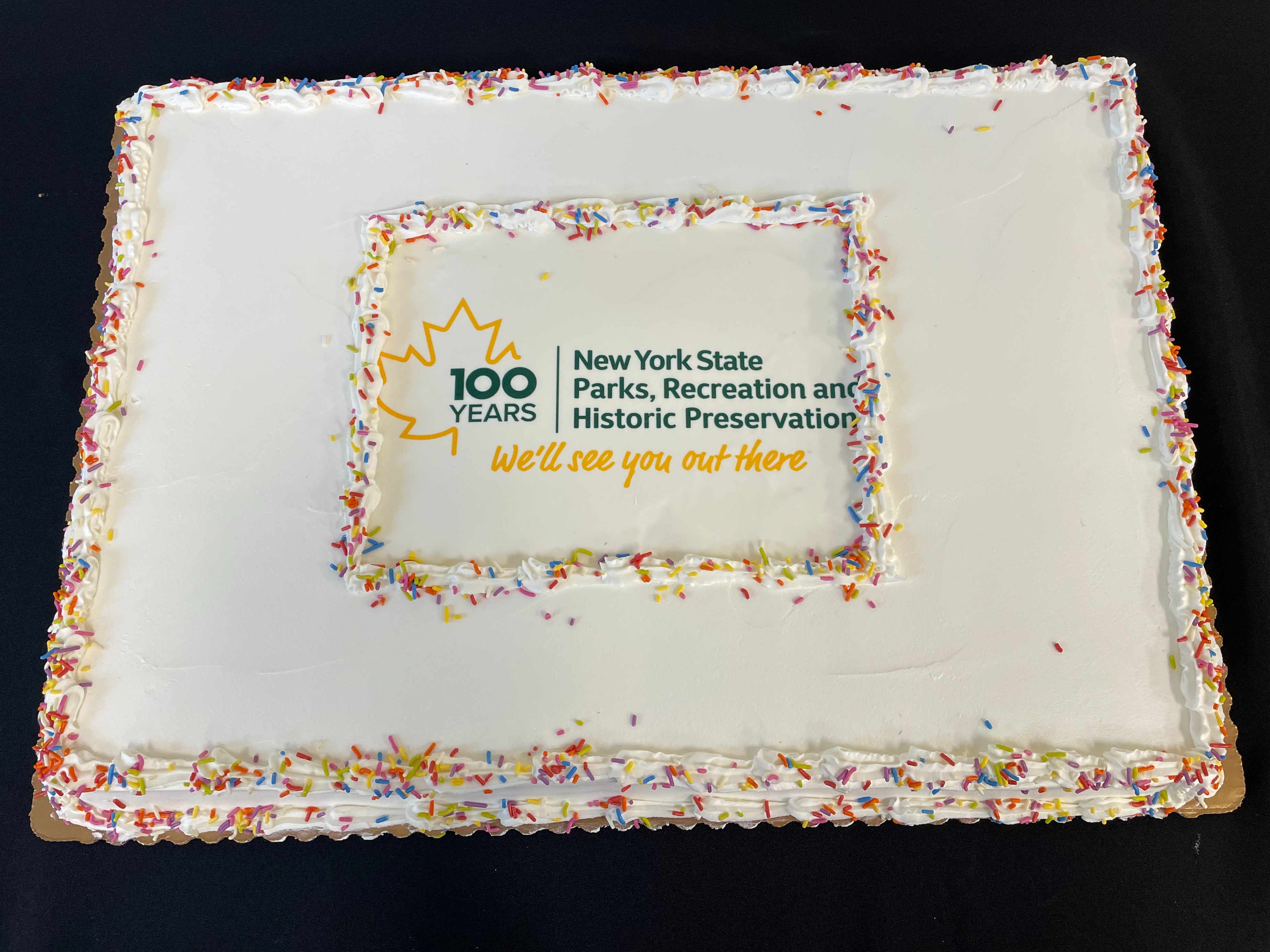
A Centennial birthday cake at the newly opened Robert H. Treman exhibit reception in Ithaca.
Established by Governor Alfred E. Smith and the New York State Legislature in 1924, SCOP and subsequent voter support for a $15 million Bond Act placed the future of many of New York’s public lands in our hands. Alongside great partners, staff at our agency have served as stewards since then, preserving New York’s most treasured lands and historically significant places. Today our system spans over 250 properties in every part of the state, improving the lives of millions of New Yorkers and connecting communities to the outdoors.
Missed our birthday? No problem. We created a video recap documenting the events of the day. You can find this video, along with other Centennial content, on our YouTube channel. Be sure to subscribe if you haven’t already, as we’ll be adding even more announcement videos into this digital goody bag as the year goes on!
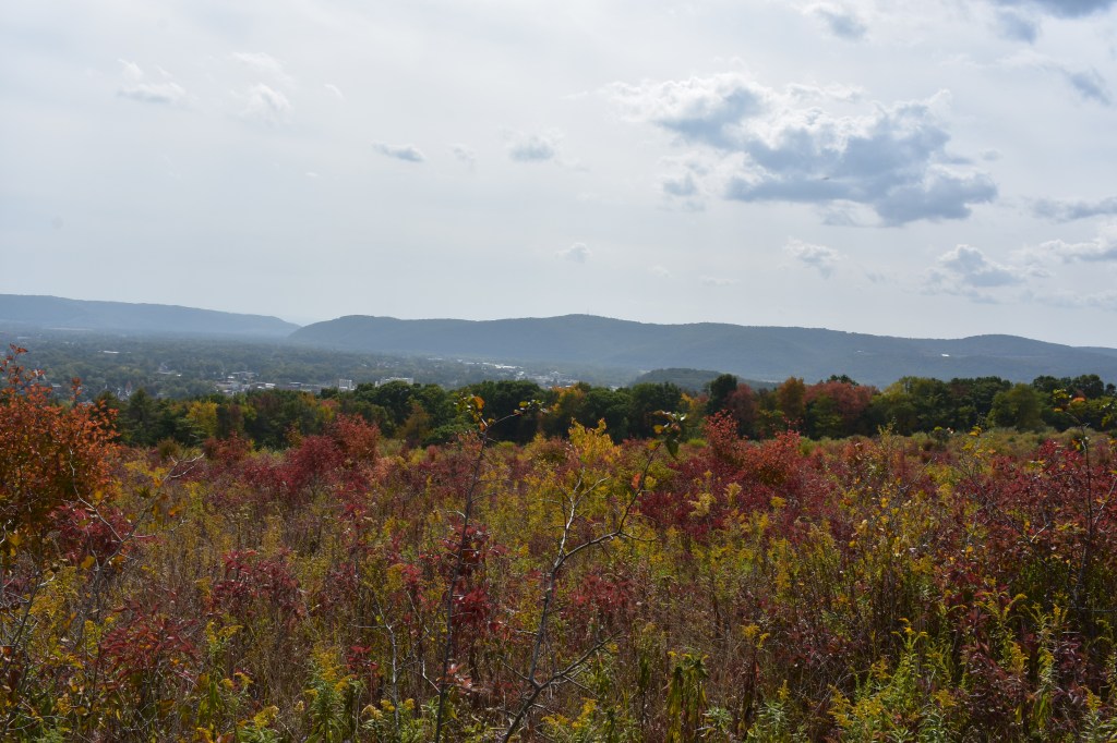
Home of the world-famous Finger Lakes, this region stretches from sandy shores and dramatic bluffs on Lake Ontario to the forests along the Pennsylvania border.
Covering Tioga, Chemung, Steuben, Schuyler, Tompkins Yates Seneca, Cayuga, Ontario, and Wayne counties, this diverse region includes 25 parks and other facilities, two historic sites and four golf courses that span terrain featuring deep clear lakes, spectacular gorges, abundant waterfalls, and fishing and boating opportunities galore.
With fall colors well under way, check out this map to see its progress in this region, as well as across New York State.
Maps for hiking trails and a variety of other useful information on State Parks, including those in the Finger Lakes, are now available on the NYS Parks Explorer app. The free app, which is available for use on Android and iOS devices, is easy to download, user friendly and allows patrons to have park information readily available.
As with all hikes, there are a few things to remember beyond carrying a mobile phone. Check the weather forecast before you go, and dress appropriately. Wear sturdy, yet comfortable shoes or boots, bring water and snacks, and perhaps carry a camera to capture what you see. Be aware of your surroundings and mindful of hikes on steep terrain or those that go near cliff tops. Having a small first-aid kit available in case of an emergency is never a bad idea.
Hiking poles are also useful and can transfer some of the stress of hiking from your knees and legs to your arms and back.
Trail maps are also available on each individual park website page at parks.ny.gov and at the main office of each park. Be sure to download maps ahead of time or carry a paper copy as a back up
In addition to the name and distance of each designated trail in a park, the maps include facilities such as parking, comfort stations, park offices, nature centers, campsites, and boat launches. To learn more about NYS Parks trails CLICK HERE.
Hikers should plan their route in advance, know how long a trail is and how long it ought to take to finish. Since daylight is not an unlimited resource, especially in the fall as days grow shorter, tossing a flashlight or headlamp into your backpack is a good form of insurance, should you unexpectedly find yourself on the trail as dusk approaches.
Parks facilities are carry-in, carry-out, so don’t leave trash behind. Follow Leave No Trace principles to keep trails clean for everyone.
Additionally, as incidents of tick-borne diseases surge in the state, it is always important to check yourself for ticks after being outside, even if it is only time spent in your own backyard.
Lastly, as the COVID-19 pandemic continues, remember to practice safe social distancing, particularly in parking lots and at trailheads, and use face coverings when a distance of six feet cannot be maintained. To learn more about important COVID safety guidelines, CLICK HERE.
Chemung County
Newtown Battlefield State Park, 2346 County Route 60, Elmira (607) 732-6067: This gem of a facility is worth a visit anytime of the year, but a view of the fall foliage from the overlook might just become a new annual tradition. Crisscrossed with 19 trails, nearly all well under a mile mile, this park offers a hiker a variety of routes without steep inclines. The park is named for the battle that took place in 1779 that was part of the American Revolution and contains a replica Native American village and large granite monument. The park also has a unique Civilian Conservation Corps history with many buildings that were constructed during their 1930’s tenure, still in use and looking great! This is the perfect park for those who want to hike through history.
An informational kiosk gives visitors insight to the Battle of Newtown.
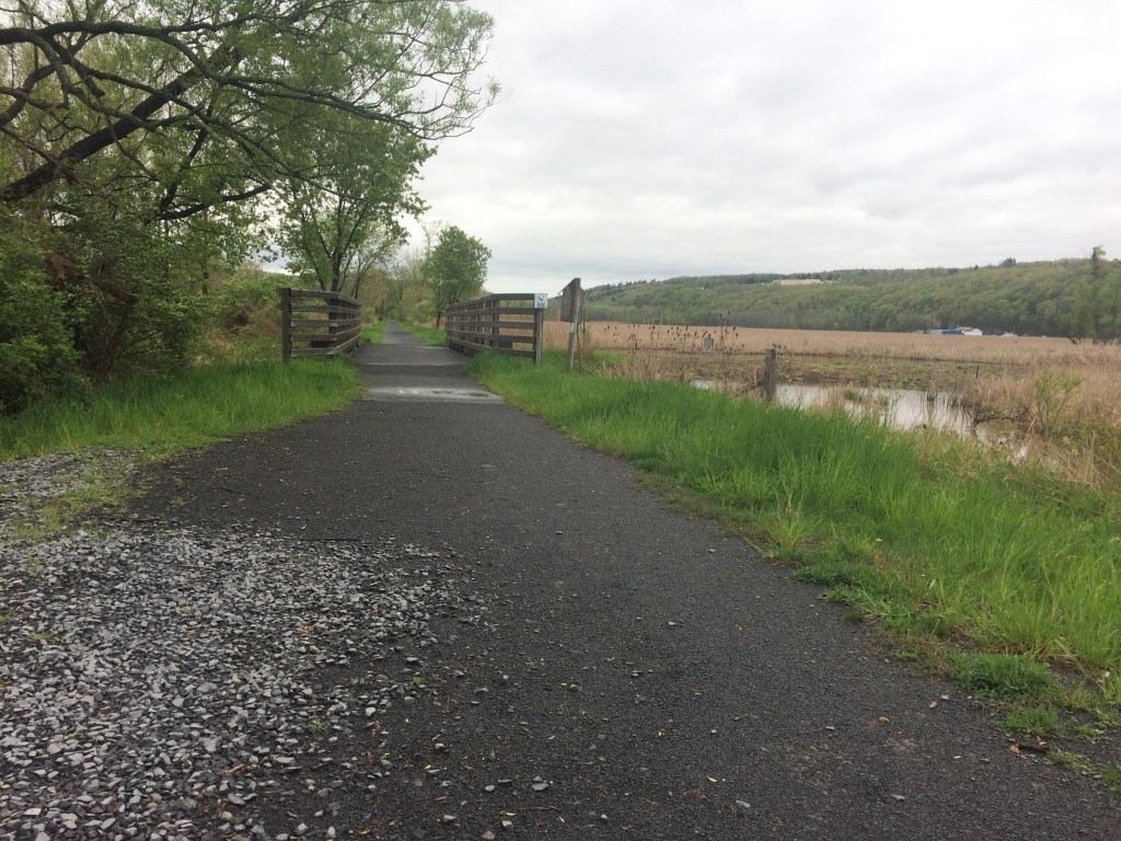
The Catherine Valley Trail, c/o Watkins Glen State Park, P.O. Box 304, Watkins Glen (607) 535-4511: Stretching from the village of Watkins Glen on Seneca Lake to the village of Horseheads, this 12-mile compact stone-dust trail follows the course of Catherine Creek and utilizes abandoned railroad and canal towpath corridors. The gentle grades make it a perfect trail at any time of the year for walking, running, cycling, cross-country skiing or snowshoeing. The trail passes a mix of wetlands and woods in a glacially-carved valley.
The Catherine Valley Trail is a wide, gentle path for hikers and cyclists.
Ontario County
Ganondagan State Historic Site, 7000 County Road 41, Victor (585) 924-5848: The only New York State Historic Site dedicated to a Native American theme and the only Seneca town developed and interpreted in the United States, this woodland and meadow park features eight miles of hiking trails. Part of the site is a Bird Conservation Area, so binoculars and a field guide will help visitors identify the many species of birds found here. Formerly the site of 17th century Seneca town, the site now hosts the 17,300 square-foot Seneca Arts Culture Center and a full-sized Seneca bark longhouse, which tell the stories of the Haudenosaunee (Iroquois) contributions to art, culture and society. There are two signed interpretive trails that educate visitors about the significance of plant life, Haudenosaunee culture and history. A third trail just a mile away from the center, interprets the history and the importance of Fort Hill, a large palisaded granary.
Click on the slideshow above for images from Ganondagan State Historic Site, starting with the Earth is Our Mother Trail (1), the Trail of Peace (2), the Seneca Trail south of Boughton Hill Road (3), and the Trout Brook Trail Bridge (4).
Tompkins County
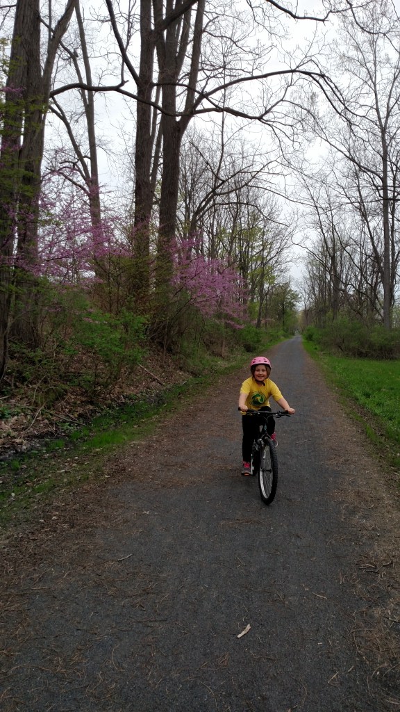
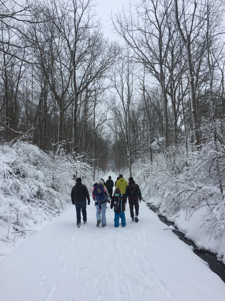
Black Diamond Trail, 1740 Taughannock Boulevard, Trumansburg (607) 387-6739: A former railroad bed, the 8.4-mile Black Diamond Trail (or BDT) is a year-round, multi-use stone-dust trail on the western shore of Cayuga Lake that stretches from Taughannock Falls State Park to the City of Ithaca. The former railroad track descends 400 feet from its northern trailhead at the State Park to its southern end at the Ithaca Children’s Garden where it seamlessly links up with the city’s Cayuga Waterfront Trail along the lake. Its gentle grades make it ideal for hiking, jogging, biking, snowshoeing and cross-country skiing. The trail is named after the rail line that operated on the site from 1896 to 1959, and is thought by some to have been one of the most lavish trains in the world.
The trail is also popular in winter for hiking, snowshoeing and cross-country skiing.
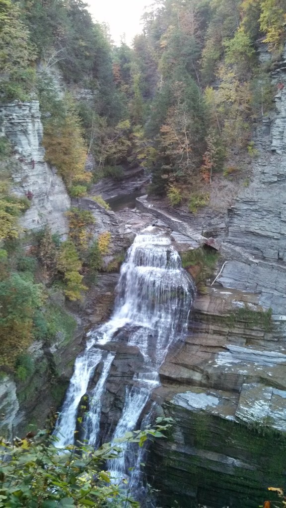
Robert H. Treman State Park, Upper Park Road, Newfield (607) 273-3440: With more more than ten miles of trails to experience, the one-mile upper loop along the rugged Enfield Gorge is spectacular any time of the year, but particularly when its foliage is ablaze. The ascents and descents here can be steep. Start in the parking lot by the Old Mill to begin a half-mile hike down the gorge trail to the 115-foot Lucifer Falls. After taking in the view near the lip of the falls, then descend a staircase along a sheer wall of stone hundreds of feet high that allows a full view of the falls before descending again through the woods to the crossover bridge to the cliff staircase/Rim Trail. Then climb the 222 beautiful stone steps of the Rim Trail for stunning views of the valley below _ and maybe to catch a breather. Continuing on the Rim Trail back to the Old Mill will complete the loop.
The dramatic Lucifer Falls plunges 115 feet at Robert H. Tremain State Park.
Tioga County
Two Rivers State Park Recreation Area, Banzhoff Road, Waverly (607) 732-6287: A five-minute drive from the village of Waverly near the Pennsylvania border, this park offers a beautiful hilltop vista of the Chemung and Susquehanna River valleys below to the small babbling brooks beginning their journey to the Chesapeake Bay. It contains 4.7 miles of hiking trails that descend from the forested hills to streams that feed the Waverly reservoir system. Mountain biking is also allowed on these trails, so cyclists and hikers need to stay alert to each other. Trails here connect to the village park of Waverly Glen.
While it may be best known for world-class boating and fishing, the Thousand Islands region of State Parks also offers miles of hiking trails along shorelines and through forests, stretching from Lake Ontario north along the St. Lawrence River and finally to the shores of Lake Champlain. Covering Lewis, Jefferson, St. Lawrence, Franklin, and Clinton…
Centered on the confluence of the Hudson and Mohawk Rivers, between the Adirondacks and the Catskills, the Saratoga/Capital Region of New York State Parks offers opportunities for both hikers and paddlers. Covering Albany, Schenectady, Rensselaer, Saratoga Washington, Schoharie, Montgomery and Fulton counties, the region includes a dozen state parks, as well as eight historic sites…
With summer now in full swing, hiking trails are calling from the Central Region of State Parks, which stretches from Lake Ontario to the Southern Tier and Pennsylvania border. The region includes glacial lakes, sandy beaches, segments of the historic Erie Canal, and dramatic waterfalls. Covering Broome, Chenango, Cortland, Delaware, Herkimer, Madison, Oneida, Onondaga, Oswego…
With autumn leaves now turned, hiking in the Palisades region of State Parks offers spectacular views of the Hudson Valley and the Catskills to go with a fascinating history that includes an outlaw’s lair, the state’s early iron industry, and a traitor’s secret meeting place. Located on the west side of the Hudson River, this…
With more than 2,000 miles of marked trails across New York, the State Parks have something for hikers of every ability. That includes the beautiful Taconic Region, located on the east side of the Hudson River and stretching through Columbia, Dutchess, Putnam and Westchester counties. Palatial estates, highland trails, Hudson River vistas and woodland campgrounds…
Since January, we have been members of the Excelsior Conservation Corps, an AmeriCortps program. We work in New York State Parks and state-owned campgrounds and improve the infrastructure (structures that we use to access and enjoy spaces – such as roads, trails, buildings, etc.) of these natural areas. One of our first experiences as members of this program took place in Saranac Lake, in the Adirondacks. Our project was to work with the New York State Department of Environmental Conservation (DEC) workers, and produce thunder boxes (box toilets), outhouses, and register boxes (for trailheads). We helped cut, paint, and attach all of the pieces, and then put them together in a way that would help people in the future easily assemble them in the field. Our crew enjoyed carpentry projects such as this. We did more than just improve our carpentry skills during those cold March days, we created friendships within our own crew and with the workers in Saranac Lake. To show their appreciation for our hard work, our project partner took us to the summit of White Face Mountain, the fifth tallest mountain in New York! We got to ride in an elevator made by the Civilian Conservation Corps – the group that our Corps is based on. We also explored the weather station that is situated at the summit and marvel at the gorgeous high peaks of the Adirondacks. This was a great time and was just an introduction to the adventures that would follow!
Marlena testing out one of the outhouses, photo by Michaela Aney
Marlena and Rebecca at the Summit of Whiteface Mountain, photo by Michaela Aney
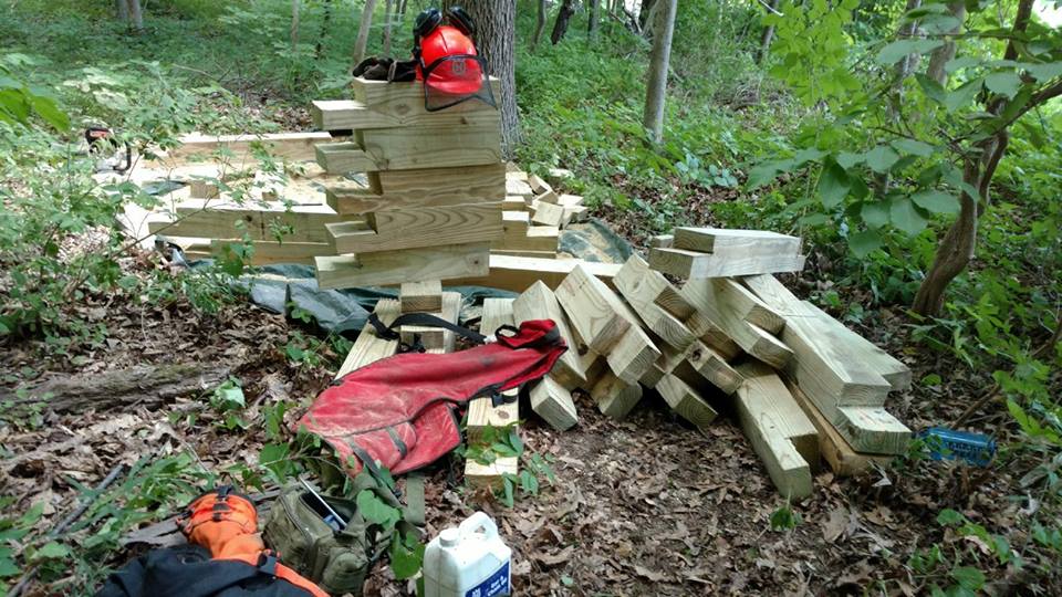
In June, our crew ventured to Robert H. Treman State Park in Ithaca. Our job was to rebuild steps on the Gorge Trail. When we arrived, we found a steep trail covered by asphalt and parking barriers and we had the task to remove it all. We started by prying up the heavy concrete barriers and chipping away at the asphalt. Once removed, we then had to carry it all either up or down the hill, depending on what part of the trail we were on. We estimate that we moved more than 20 tons of material over the course of about 18 days! We then began cutting wood and digging dirt to install box steps – 147 steps to be exact! These steps were made from 3 pieces of wood, continuously stacked on top of each other and filled with gravel. The new steps are safer for hikers and will slow down trail erosion allowing park visitors to enjoy the trail for many years to come!
It was a lot of hard work, but we were rewarded with thousands of thank yous from park visitors, beautiful views (Ithaca really is gorges!), and the satisfaction that comes with another completed project.
All of the steps were cut by a chainsaw! , photo by Michaela Aney
These were two of the amazing projects we completed this year.
Post by Michaela Aney and Marlena Vera-Schockner, 2016 ECC members
When quizzed about some of their best loved hikes in State Parks, our staff had to choose from amongst the hundreds of miles of hiking trails along shorelines, through mountains and open fields, overlooking lakes, rivers and gorges, and meandering through old growth forests.
Here are some of their favorites. (Note: trail maps can be found at each park’s website)
Mike’s favorite: Mine Kill State Park, located in the scenic and historic Schoharie Valley, is about an hour southwest of Albany. The park boasts almost 10 miles of trails, the most well-known being definitely the five-mile section of the Long Path. The Long Path (LP) is a 358 mile-long hiking trail running from New York City to John Boyd Thacher State Park just south of Albany. This particular section of the LP was designated as a National Recreation Trail by the Department of the Interior (National Park Service) in 2014 due to its unique flora and fauna, diverse history and incredible scenery. Along this stretch of trail, a hiker may wander past active bald eagle nests, the picturesque Mine Kill and Schoharie Creek, the historic Lansing Manor and its namesake, the 80-foot high Mine Kill Falls.
Pausing along the Schoharie Creek at Mine Kill State Park, photo by State Parks
Nancy’s favorite: The Indian Ladder Trail (0.40 miles long) in Thacher State Park near Albany is like a hike through geological history. You get an up close look at the 1,200 foot high limestone escarpment as you climb metal staircases to start (and end) your hike along the bottom of the escarpment. Layers of limestone, sandstone, and shale, lifted and eroded by wind, water, and other elements, formed the escarpment over 100 million years ago. Prehistoric people used nearby areas as hunting camps, possibly as early as 6,000 B.C. Native Americans traversed the escarpment via footpaths and logs (acting as ladders) between the Mohawk/Hudson and Schoharie Valleys, hence the name ‘Indian Ladder’ Trail. Along the hike, you can see waterfalls (if it’s not too dry a season), marine fossils, small caves, and stand near the crowns of mature trees growing below the escarpment. Best of all are the views from the Indian Ladder Trail, and the Escarpment Trail above, of surrounding valleys, the urban landscape, and further in the distance, the Adirondack Mountains of New York and the Green Mountains of Vermont.
A mother and daughter travel through time along the Indian Ladder Trail at Thacher State Park, photo by State Parks
Nick’s favorite hikes at Minnewaska State Park Preserve in the Hudson Valley include the Lake Minnewaska Carriage Road, a two-mile gentle loop trail around the glacially formed Lake Minnewaska. It’s an historic carriage road left over from a Victorian Era mountain resort. This hike features many views of Lake Minnewaska, a peak at the Catskill Mountains from several spots, and views of the greater Hudson Valley. This hike is popular due to the lake (people love water!), the ease of access, and the rock perches and cliffs that overlook the lake and Hudson Valley.
A couple on Red Carriageway around Lake Minnewaska, adjacent to the parking area in New York’s Minnewaska State Park Preserve, photo by State Parks
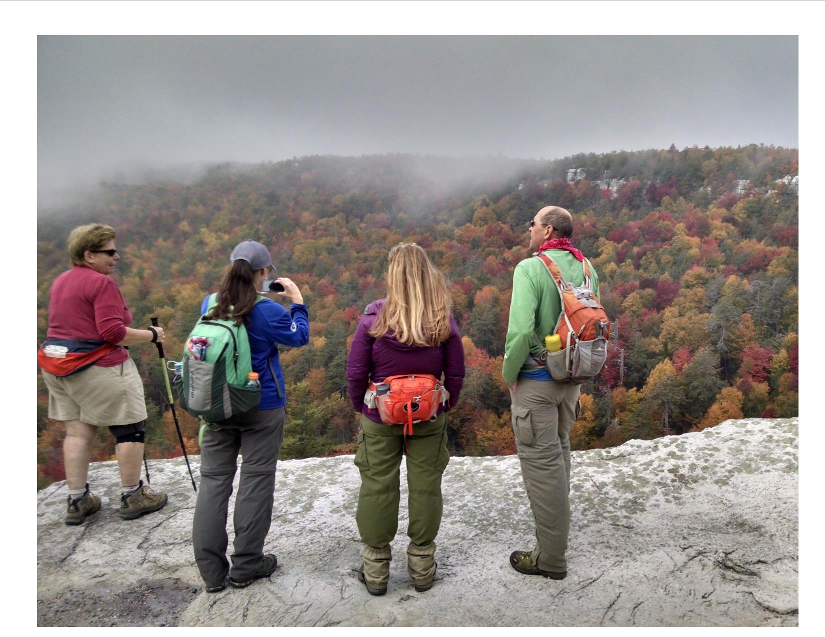
Nick’s other favorite hike is Gertrude’s Nose Trail, an approximately seven mile hike on a mixture of historic carriage roads and footpaths traversing some of the most rugged terrain in Minnewaska State Park Preserve. These footpaths are loaded with evidence (signs) of the last glacial event, featuring glacial polish, glacial erratics (large rocks deposited by glaciers), chatter marks (any of a series of grooves, pits, and scratches on the surface of a rock, usually made by the movement of a glacier(from Dictionary.com)), sharp cliffs and massive talus blocks (rock debris below a cliff face). This hike is very popular mainly because this cliff edge trail gives panoramic views of the Shawangunk Mountains along the way.
A foggy, fall day along the Gertrude’s Nose Footpath, photo by Duane Kolaya
Tom’s favorites: Green Lake and Round Lake Trails, located in Green Lakes State Park, are favorite hikes near Syracuse. They follow around the shores of these two glacial meromictic lakes. Meromictic lakes are lakes where there is no mixing of surface and bottom waters and they remain thermally (temperature) and chemically stratified (in layers) throughout the year. Other unique features of the lakes include their brilliant blue green appearance and the presence of “thrombolitic microbiolite marl reefs.” This basically means that a living organism is creating a rock out of material in the water. More specifically a cyanobacteria or algae is taking calcium compounds that entered the lake with groundwater seeping through the surrounding limestone bedrock and making it into a solid as part of cellular respiration. The United States Department of Interior designated Round Lake as a National Natural Landmark in 1975.
Green and Round Lake Trails are generally flat, 8-10 feet wide, and easy hiking trails. The full loop, including both trails, is approximately three miles long with benches located periodically for resting and enjoying the scenery. A swimming beach, playground and boat rentals are located at the north end of Green Lake. These trails are part of a 17-mile trail system in the park that also takes you through or to old growth forest, wetlands, grassland bird habitat, cliff edge overlooks, camping areas, a golf course, and connects to the 36-mile Old Erie Canal State Historic Park.
Strolling on the Green Lake Trail at Green Lakes State Park, photo by State Parks
Nicole’s favorite: As the largest State Park in the Long Island region, hiking at Connetquot River State Park Preserve can feel secluded even in the middle of densely populated Long Island. The beautiful scenery and diversity of life within the park make it her favorite hiking spot. Starting from the parking lot, the Greenbelt Trail (indicated by the white and yellow blazes) takes you directly to the fish hatchery, where you can get up close and personal with trout being raised. From there, the Red Trail can take you back along the Connetquot River to Main Pond. The Red Trail merges with the Blue Trail at the pond and the hike ends at the historic Grist Mill and Main House. Then it’s a short distance down the road back to the parking lot. This loop is a little over two miles but flat and even throughout, making it perfect for all age groups. Don’t forget to check in with the Nature Center at the Main House on the way out to find out about all of the amazing programs they have there.
Traveling along the Greenbelt Trail at Connetquot State Park Preserve, photo by State Parks
Molly recommends hiking at Wellesley Island State Park in the Thousand Islands Region. A favorite is to start at the Minna Anthony Common Nature Center and hike along the Eel Bay Trail (1.1 miles) to the Narrows Trail (0.45 miles). From there you can head back the same way or follow along another trail to loop back to the Nature Center. Sitting on the exposed granite outcroppings and watching the St. Lawrence River Eel Bay and passing glacial potholes are highlights of this hike. The Narrows is a narrow water passageway located between Wellesley Island and Murray Isle connecting South and Eel Bays. Along the Narrows Trail you can watch boats pass through the channel and see a variety of birds while picnicking on an open rock area. These trails are generally easy hiking but have some steeper rock climbing areas. Don’t forget to check out the Nature Center!
Checking out the trail map at Wellesley Island State Park, photo by State Parks
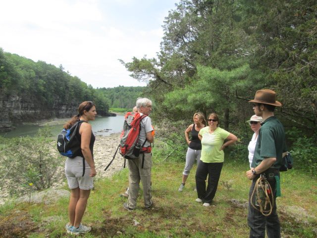
FORCES stewards Nick and Adriana recommend two hikes in the Finger Lakes Region.
Buttermilk Falls State Park is a located in the heart of the Finger Lakes to the south of Cayuga Lake and has much to offer avid hikers, families, and visitors to the area. Hike the Rim and Gorge Trails together for a 1.5-mile loop, or hike each separately. Starting either trail from the lower parking lot will require a strenuous uphill walk (Rim Trail) or climbing of a long staircase (Gorge Trail). The Gorge Trail has much to offer and you will encounter many waterfalls, and beautiful rock formations along the 0.65 mile trek up the gorge. Mosses, liverworts, and ferns coat entirety of the gorge, providing a vivid green walk that is topped by a hemlock hardwood forest along the ridge. As you come out of the gorge, you will cross a bridge to take the 0.82-mile Rim Trail back to the parking area. This walk takes you through a beautiful hemlock hardwood forest filled with eastern hemlock, chestnut oak, and witch hazel, along with many other species. This loop can be done in about an hour, but more time may be needed for taking in all the sights along the way. Hiking these two trails as a loop is a relatively easy hike after you complete the initial stairs, or uphill climb.
Along the trail at Buttermilk Falls State Park, photo by State Parks
The Upper Loop in Robert H. Treman State Park is a one mile round trip on sections of the Gorge and Rim Trails. The trail is situated above Treman Gorge and offers spectacular views of the many waterfalls including the 115-foot Lucifer Falls. The trail begins at the upper section of the park (the Old Mill Parking area) at the entrance to the Gorge Trail and takes visitors through the upper gorge. The trail highlights the scenic beauty of the gorge, amazing rock formations, stone bridges, and the many water features along Enfield Creek through the ravine. The trail takes you to the top of Lucifer Falls and then down the side. At the bottom is a wooden bridge over the stream that will take you to the Rim Trail and the second portion of the hike. This begins with a climb up the “Cliff Staircase” – it is the most difficult section of the loop but it also offers some of the best views in the park. At the top is an overlook of Lucifer Falls and then a moderate downhill slope back to the upper parking lot. Multiple overlooks from high vantage points make the trail perfect for photo ops and for viewing the gorge below. Although the hike is short, some visitors may find to be strenuous due to the elevation change and the many staircases.
Visitors pause at Robert H. Treman, photo by State Parks
This weekend, try one of these hikes or find your own ‘best-loved hike’ in a park near you.